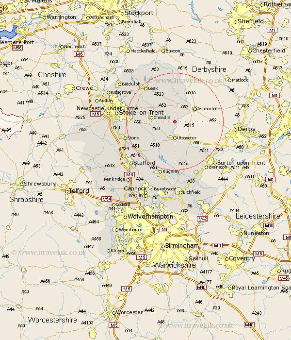
Staffordshire Map Showing Location of Denstone
Population: 1031
District: East Staffordshire
Easting: 410073 Northing: 341082
Latitude: 52.97 Longitude: -1.85
 = Denstone
District: East Staffordshire
Easting: 410073 Northing: 341082
Latitude: 52.97 Longitude: -1.85
= Denstone
This Denstone map below is supplied by Google. Use the tools in the top left corner to zoom into street level or zoom out for a road map, you may also need to zoom in to see Denstone on the map. Click and drag the map to move around. If the map fails to load try and refresh your browser or zoom in or out (+ or -).
Update - it seems Google no longer allow people to use their maps for free! This Denstone map sometimes loads and sometimes gives a error. I am working on a solution.
Closest 30 Towns or Cities to Denstone (Population over 500)
Rocester 2.17km Alton 2.23km Oakamoor 5.8km Mayfield 6.7km Uttoxeter 7.42km Waterhouses 7.49km Checkley 7.66km Cheadle 9.12km Church Leigh 9.59km Leigh 9.59km Kingsley 10.51km Ipstones 10.76km Marchington 11.61km Draycott in the Moors 12.28km Draycott 12.28km Caverswall 14.62km Fulford 14.63km Cheddleton 15.37km Hilderstone 16.59km Hanbury 16.77km Abbots Bromley 16.83km Hatton 17.02km Tutbury 17.13km Leek 18.55km Weston upon Trent 18.57km Weston 18.57km Rolleston 20km Anslow 20.08km Stone 20.39km Barlaston 21.29km