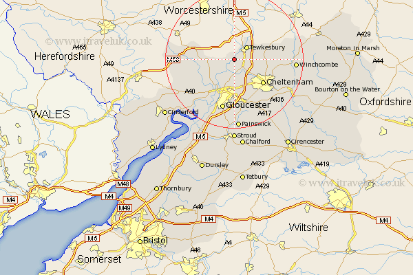
Gloucestershire Map Showing Location of Deerhurst
Population: 909
District: Tewkesbury
Easting: 386261 Northing: 229869
Latitude: 51.97 Longitude: -2.2
 = Deerhurst
District: Tewkesbury
Easting: 386261 Northing: 229869
Latitude: 51.97 Longitude: -2.2
= Deerhurst
This Deerhurst map below is supplied by Google. Use the tools in the top left corner to zoom into street level or zoom out for a road map, you may also need to zoom in to see Deerhurst on the map. Click and drag the map to move around. If the map fails to load try and refresh your browser or zoom in or out (+ or -).
Update - it seems Google no longer allow people to use their maps for free! This Deerhurst map sometimes loads and sometimes gives a error. I am working on a solution.
Closest 30 Towns or Cities to Deerhurst (Population over 500)
Tewkesbury 5.04km Ashleworth 5.89km Staverton 6.01km Ashchurch 6.8km Swindon 7.79km Corse 7.8km Hartpury 8.83km Innsworth 9.27km Bishops Cleeve 9.32km Churchdown 9.55km Redmarley D'Abitot 10.44km Cheltenham 10.91km Southam 10.93km Shurdington 12.5km Tibberton 12.68km Hucclecote 13.03km Brockworth 13.18km Leckhampton 13.7km Alderton 13.82km Newent 14.2km Charlton Kings 14.4km Gloucester 15.23km Dymock 16.09km Dumbleton 16.92km Winchcomb 17.23km Winchcombe 17.23km Quedgeley 17.63km Huntley 17.66km Hardwicke 18.04km Painswick 20.43km