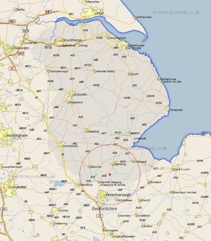
Lincolnshire Map Showing Location of Deeping Saint Nicholas
Population: 1323
District: South Holland
Easting: 521570 Northing: 314784
Latitude: 52.72 Longitude: -0.2
 = Deeping Saint Nicholas
District: South Holland
Easting: 521570 Northing: 314784
Latitude: 52.72 Longitude: -0.2
= Deeping Saint Nicholas
This Deeping Saint Nicholas map below is supplied by Google. Use the tools in the top left corner to zoom into street level or zoom out for a road map, you may also need to zoom in to see Deeping Saint Nicholas on the map. Click and drag the map to move around. If the map fails to load try and refresh your browser or zoom in or out (+ or -).
Update - it seems Google no longer allow people to use their maps for free! This Deeping Saint Nicholas map sometimes loads and sometimes gives a error. I am working on a solution.
Closest 30 Towns or Cities to Deeping Saint Nicholas (Population over 500)
Cowbit 5.91km Crowland 6.5km Croyland 6.5km Leverington 7.15km Spalding 7.74km Market Deeping 8.74km Langfoft 9.17km Langtoft 9.17km Deeping St James 9.3km Deeping St. James 9.3km Deeping Saint James 9.3km Pinchbeck 9.86km Baston 10.27km Thurlby 11.23km Moulton 12.52km Weston 12.9km Whaplode 13.44km Morton 13.44km Bourn 13.54km Bourne 13.54km Godney Hill 13.55km Gedney Hill 13.55km Surfleet 13.72km Gosberton 15.2km Rippingale 15.79km Uffington 16.38km Quadring 16.83km Holbeach 17.27km Pointon 17.32km Sutton St James 18.05km