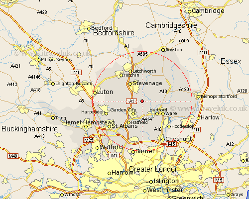
Hertfordshire Map Showing Location of Datchworth
Population: 1480
District: East Hertfordshire
Easting: 527410 Northing: 218489
Latitude: 51.85 Longitude: -0.15
 = Datchworth
District: East Hertfordshire
Easting: 527410 Northing: 218489
Latitude: 51.85 Longitude: -0.15
= Datchworth
This Datchworth map below is supplied by Google. Use the tools in the top left corner to zoom into street level or zoom out for a road map, you may also need to zoom in to see Datchworth on the map. Click and drag the map to move around. If the map fails to load try and refresh your browser or zoom in or out (+ or -).
Update - it seems Google no longer allow people to use their maps for free! This Datchworth map sometimes loads and sometimes gives a error. I am working on a solution.
Closest 30 Towns or Cities to Datchworth (Population over 500)
Knebworth 2.29km Watton 3.43km Watton at Stone 3.43km Harmer Green 3.54km Aston 3.7km Tewin 3.7km Stapleford 3.9km Welwyn 4.94km Bennington 5.05km Benington 5.05km Codicote 5.72km Welwyn Garden City 6.54km Garden City 6.54km Little Munden 7.11km Walkern 7.5km Hertford 7.98km Hertingfordbury 8.17km Stevenage 8.72km Kimpton 9.16km Bishops Hatfield 9.33km Thundridge 9.35km Ware 9.76km Graveley 9.88km Cottered 10.33km Great Wymondley 10.33km Wymondley 10.33km Hatfield 10.66km Wheathampstead 10.72km Little Amwell 10.92km Essendon 11.12km