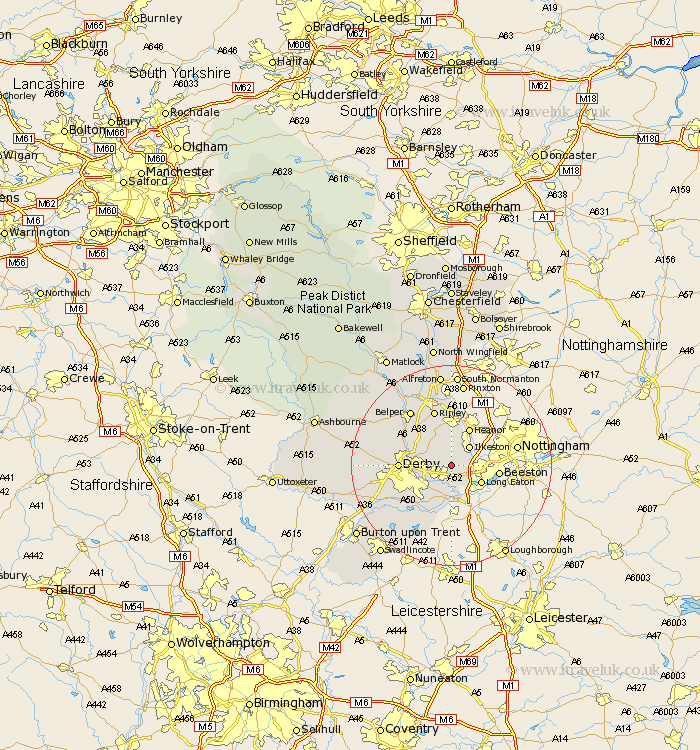
Derbyshire Map Showing Location of Dale Abbey
Population: 1432
District: Erewash
Easting: 443684 Northing: 337554
Latitude: 52.93 Longitude: -1.35
 = Dale Abbey
District: Erewash
Easting: 443684 Northing: 337554
Latitude: 52.93 Longitude: -1.35
= Dale Abbey
This Dale Abbey map below is supplied by Google. Use the tools in the top left corner to zoom into street level or zoom out for a road map, you may also need to zoom in to see Dale Abbey on the map. Click and drag the map to move around. If the map fails to load try and refresh your browser or zoom in or out (+ or -).
Update - it seems Google no longer allow people to use their maps for free! This Dale Abbey map sometimes loads and sometimes gives a error. I am working on a solution.
Closest 30 Towns or Cities to Dale Abbey (Population over 500)
West Hallam 1.86km Risley 2.9km Borrowash 4.32km Sandiacre 4.84km Ilkeston 5km Smalley 5.99km Breadsall 6.7km Long Eaton 6.7km Little Eaton 6.95km Shipley Gate Station 7.75km Sawley 8.13km Heanor 8.14km Shardlow 9.26km Kilbourn 9.28km Kilbourne 9.28km Kilburn 9.28km Duffield 9.67km Denby 9.86km Derby 10.05km Quarndon 10.22km Holbrook 10.77km Codnor 11.18km Ripley 11.61km Weston upon Trent 11.61km Weston-on-Trent 11.61km Weston on Trent 11.61km Heage 12.98km Belper 13.59km Melbourne 14.12km Kirk Langley 14.52km