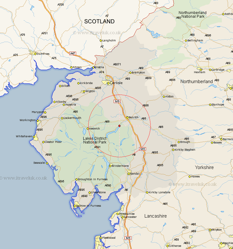
Cumbria Map Showing Location of Dacre
Population: 1326
District: Eden
Easting: 346191 Northing: 524948
Latitude: 54.62 Longitude: -2.83
 = Dacre
District: Eden
Easting: 346191 Northing: 524948
Latitude: 54.62 Longitude: -2.83
= Dacre
This Dacre map below is supplied by Google. Use the tools in the top left corner to zoom into street level or zoom out for a road map, you may also need to zoom in to see Dacre on the map. Click and drag the map to move around. If the map fails to load try and refresh your browser or zoom in or out (+ or -).
Update - it seems Google no longer allow people to use their maps for free! This Dacre map sometimes loads and sometimes gives a error. I am working on a solution.
Closest 30 Towns or Cities to Dacre (Population over 500)
Greystoke 4.28km Skelton 9.51km Langwathby 13.03km Shap 15.46km Culgaith 15.47km Lasonby 15.54km Lazonby 15.54km Hesket Newmarket 17.52km Kirkby Thore 18.24km Keswick 18.34km Koswick 18.34km Kirkoswald 18.75km Caldbeck 19.03km Crosby Ravensworth 19.58km Long Marston 20.48km Long Marton 20.48km Ainstable 21.37km Appleby 23.23km Ambleside 23.85km Orton 23.96km Dalston 25.94km Westward 26.73km Tebay 27.48km Thursby 27.81km Wetheral 27.82km Staveley 27.82km Windermere 28.32km Hawkshead 29.81km Carlisle 30.33km Wigton 31.52km