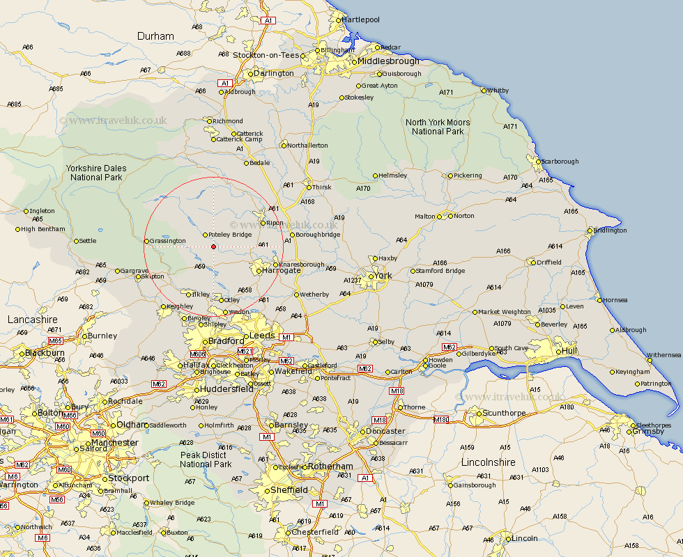
Yorkshire Map Showing Location of Dacre
Population: 658
District: Harrogate
Easting: 418548 Northing: 461617
Latitude: 54.05 Longitude: -1.72
 = Dacre
District: Harrogate
Easting: 418548 Northing: 461617
Latitude: 54.05 Longitude: -1.72
= Dacre
This Dacre map below is supplied by Google. Use the tools in the top left corner to zoom into street level or zoom out for a road map, you may also need to zoom in to see Dacre on the map. Click and drag the map to move around. If the map fails to load try and refresh your browser or zoom in or out (+ or -).
Update - it seems Google no longer allow people to use their maps for free! This Dacre map sometimes loads and sometimes gives a error. I am working on a solution.
Closest 30 Towns or Cities to Dacre (Population over 500)
Darley 2.15km Bewerley 4.94km Birstwith 6.79km Hampsthwaite 8.47km Killinghall 11.5km Kirkby Malzeard 13.69km Harrogate 14.09km Burton Leonard 14.26km Bishop Monkton 14.62km Monkton 14.62km Burley in Wharfedale 14.98km Burley 14.98km Ripon 15.01km Grewelthorpe 15.45km Ilkley 16.2km Pannal 16.35km Otley 16.82km Addingham 16.94km Knaresborough 17.25km Grassington 17.5km Weeton 17.77km Pool-in-Wharfedale 17.92km Pool 17.92km Poole 17.92km Arthington Junction Station 18.34km Arthington 18.34km Menston 18.57km Masham 19.04km Tanfield 19.33km West Tanfield 19.33km