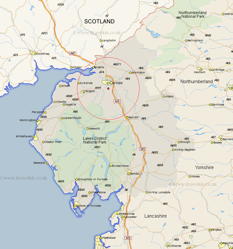
Cumbria Map Showing Location of Cummersdale
Population: 486
District: Carlisle
Easting: 340080 Northing: 550986
Latitude: 54.85 Longitude: -2.93
 = Cummersdale
District: Carlisle
Easting: 340080 Northing: 550986
Latitude: 54.85 Longitude: -2.93
= Cummersdale
This Cummersdale map below is supplied by Google. Use the tools in the top left corner to zoom into street level or zoom out for a road map, you may also need to zoom in to see Cummersdale on the map. Click and drag the map to move around. If the map fails to load try and refresh your browser or zoom in or out (+ or -).
Update - it seems Google no longer allow people to use their maps for free! This Cummersdale map sometimes loads and sometimes gives a error. I am working on a solution.
Closest 30 Towns or Cities to Cummersdale (Population over 500)
Dalston 3.7km Carlisle 3.7km Stanwix 5.56km Wetheral 7.69km Thursby 7.7km Rockcliff 9.8km Rockcliffe 9.8km Burgh by Sands 10.52km Burgh-by-Sands 10.52km Burgh 10.52km Hayton 12.98km Ainstable 13.97km Wigton 14km Hesket Newmarket 14.03km Irthington 14.12km Westward 14.81km Caldbeck 14.98km Longtown 16.81km Brampton 16.95km Skelton 17.22km Kirkbride 17.46km Kirkoswald 17.59km Farlam 17.63km Lasonby 19.8km Lazonby 19.8km Bowness on Solway 21.26km Bowness-on-Solway 21.26km Bromfield 22.06km Greystoke 22.65km Langwathby 25.22km