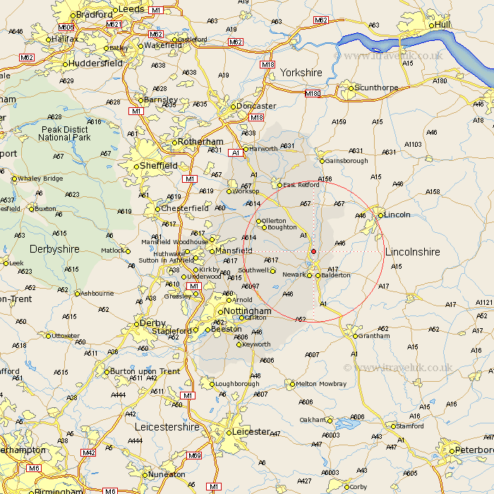
Nottinghamshire Map Showing Location of Cromwell
Population: 188
District: Newark and Sherwood
Easting: 480274 Northing: 360276
Latitude: 53.13 Longitude: -0.8
 = Cromwell
District: Newark and Sherwood
Easting: 480274 Northing: 360276
Latitude: 53.13 Longitude: -0.8
= Cromwell
This Cromwell map below is supplied by Google. Use the tools in the top left corner to zoom into street level or zoom out for a road map, you may also need to zoom in to see Cromwell on the map. Click and drag the map to move around. If the map fails to load try and refresh your browser or zoom in or out (+ or -).
Update - it seems Google no longer allow people to use their maps for free! This Cromwell map sometimes loads and sometimes gives a error. I am working on a solution.
Closest 30 Towns or Cities to Cromwell (Population over 500)
North Muskham 2.15km Muskham 2.15km Collingham 3.82km North Collingham 3.82km Winthorpe 3.87km Coddington 6.48km Balderton 7.49km Newark 7.49km Newark upon Trent 7.49km Newark on Trent 7.49km Newark-on-Trent 7.49km Farndon 9.85km Tuxford 10.81km Fiskerton Ferry 11.42km Fiskerton 11.42km Southwell 12.23km Elston 13.71km Markham 14.11km East Markham 14.11km Bleasby 14.25km Boughton 14.87km Bilsthorpe 15.57km Farnsfield 16.01km Walesby 16.52km Ollerton 17.16km Flintham 17.97km Elksley 18.53km Elkesley 18.53km Rampton 18.54km Bampton 18.54km