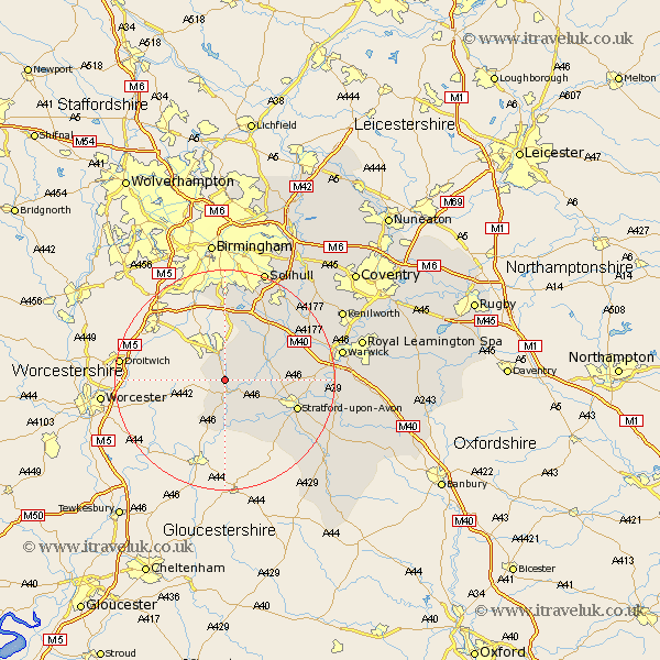
Warwickshire Map Showing Location of Coughton
Population: 139
District: Stratford-on-Avon
Easting: 407966 Northing: 259506
Latitude: 52.23 Longitude: -1.88
 = Coughton
District: Stratford-on-Avon
Easting: 407966 Northing: 259506
Latitude: 52.23 Longitude: -1.88
= Coughton
This Coughton map below is supplied by Google. Use the tools in the top left corner to zoom into street level or zoom out for a road map, you may also need to zoom in to see Coughton on the map. Click and drag the map to move around. If the map fails to load try and refresh your browser or zoom in or out (+ or -).
Update - it seems Google no longer allow people to use their maps for free! This Coughton map sometimes loads and sometimes gives a error. I am working on a solution.
Closest 30 Towns or Cities to Coughton (Population over 500)
Alcester 2.17km Studley 3.71km Great Alne 4.9km Aston Cantlow 5.68km Wootton Wawen 8.16km Ullenhall 8.69km Salford Priors 9.26km Henley in Arden 9.69km Snitterfield 10.22km Bearley 10.22km Claverdon 13.02km Stratford upon Avon 13.67km Stratford 13.67km Stratford-on-Avon 13.67km Stratford-upon-Avon 13.67km Stratford on Avon 13.67km Lapworth 14.35km Rowington 15.54km Shrewley 16.5km Quinton 16.51km Hatton 17.53km Barford 19.3km Knowle 19.55km Temple Balsall 20.12km Warwick 21.16km Wellesbourne 21.18km Wellesbourne Hastings 21.18km Solihull 21.5km Ilmington 21.55km Eatington 22.29km