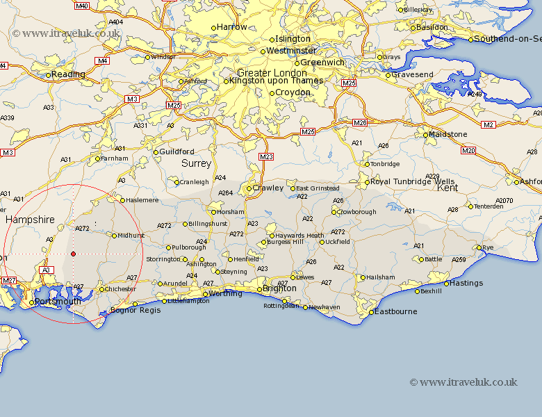
Sussex Map Showing Location of Compton
Population: 378
District: Chichester
Easting: 477288 Northing: 115509
Latitude: 50.93 Longitude: -0.9
 = Compton
District: Chichester
Easting: 477288 Northing: 115509
Latitude: 50.93 Longitude: -0.9
= Compton
This Compton map below is supplied by Google. Use the tools in the top left corner to zoom into street level or zoom out for a road map, you may also need to zoom in to see Compton on the map. Click and drag the map to move around. If the map fails to load try and refresh your browser or zoom in or out (+ or -).
Update - it seems Google no longer allow people to use their maps for free! This Compton map sometimes loads and sometimes gives a error. I am working on a solution.
Closest 30 Towns or Cities to Compton (Population over 500)
East Harting 4.39km Stoughton 6.57km Funtington 7.5km Rogate 8.76km Southbourne 9.34km Westbourne 9.34km Iping 9.88km Lavant 12.36km Midhurst 12.93km Fishbourne 13.15km Bosham 13.17km Chichester 13.81km West Thorney 14.82km Graffham 15.18km Hayling Island 15.54km Boxgrove 15.85km Tangmere 15.85km Linchmere 16.69km Donnington 16.93km Dunnington 16.93km Fernhurst 16.98km Oving 17km Birdham 17.32km Mundham 18.18km North Mundham 18.18km West Wittering 18.53km East Wittering 18.56km Sidlesham 18.58km Lurgashall 18.79km Tillington 20.61km