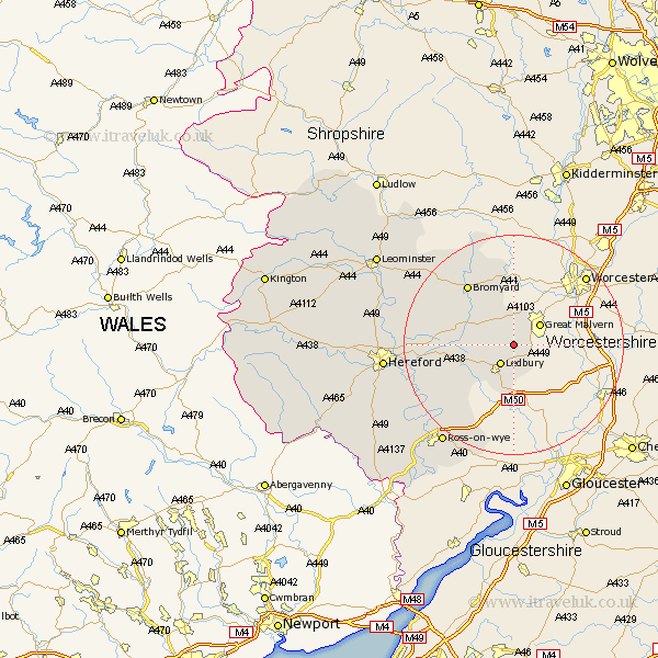
Herefordshire Map Showing Location of Colwall
Population: 2433
Easting: 373735 Northing: 242887
Latitude: 52.08 Longitude: -2.38
 = Colwall
Easting: 373735 Northing: 242887
Latitude: 52.08 Longitude: -2.38
= Colwall
This Colwall map below is supplied by Google. Use the tools in the top left corner to zoom into street level or zoom out for a road map, you may also need to zoom in to see Colwall on the map. Click and drag the map to move around. If the map fails to load try and refresh your browser or zoom in or out (+ or -).
Update - it seems Google no longer allow people to use their maps for free! This Colwall map sometimes loads and sometimes gives a error. I am working on a solution.
Closest 30 Towns or Cities to Colwall (Population over 500)
Cradley 2.52km Ledbury 4.35km Bosbury 4.56km Much Marcle 12.23km Bromyard 13.68km Whitbourne 14.88km Withington 17.18km Upton Bishop 17.41km Fownhope 17.48km Mordiford 17.49km Lugwardine 18.32km Sutton 20.58km Weston-under-Penyard 21.18km Weston under Penyard 21.18km Weston 21.18km Bodenham 21.79km Lea 21.89km Ross on Wye 22.38km Ross 22.38km Ross-on-wye 22.38km Hereford 23.08km Bullingham 23.46km Moreton-on-Lugg 23.98km Moreton on Lugg 23.98km Moreton 23.98km Wellington 25.65km Much Birch 26.24km Burghill 26.25km Walford 26.74km Much Dewchurch 27.44km