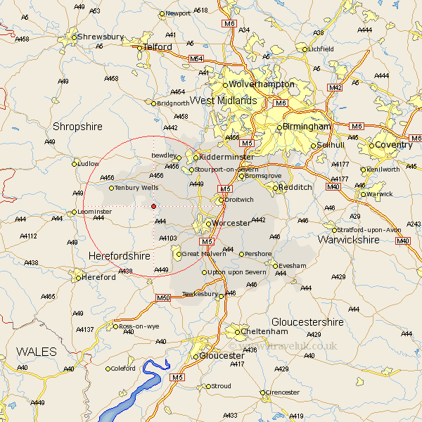
Worcestershire Map Showing Location of Clifton Upon Teme
Population: 629
District: Malvern Hills
Easting: 371557 Northing: 261439
Latitude: 52.25 Longitude: -2.42
 = Clifton Upon Teme
District: Malvern Hills
Easting: 371557 Northing: 261439
Latitude: 52.25 Longitude: -2.42
= Clifton Upon Teme
This Clifton Upon Teme map below is supplied by Google. Use the tools in the top left corner to zoom into street level or zoom out for a road map, you may also need to zoom in to see Clifton Upon Teme on the map. Click and drag the map to move around. If the map fails to load try and refresh your browser or zoom in or out (+ or -).
Update - it seems Google no longer allow people to use their maps for free! This Clifton Upon Teme map sometimes loads and sometimes gives a error. I am working on a solution.
Closest 30 Towns or Cities to Clifton Upon Teme (Population over 500)
Martley 3.88km Great Witley 5.86km Abberley 6.52km Lindridge 8.16km Astley 8.79km Suckley 9.26km Rock 9.33km Leigh 10.07km Holt 11.35km Grimley 11.5km Hallow 11.94km Ombersley 12.62km Tenbury Wells 12.63km Tenbury 12.63km Powick 14.66km Fernhill Heath 14.87km Stourport 15.09km Stourport on Severn 15.09km Stourport-on-Severn 15.09km Hartlebury 15.53km Worcester 15.77km Bewdley 16.31km Great Malvern 16.32km Malvern 16.32km Droitwich 18.25km Kidderminster 18.66km Malvern Wells 19.39km Stone 19.63km Kempsey 19.66km Chaddesley Corbett 20.31km