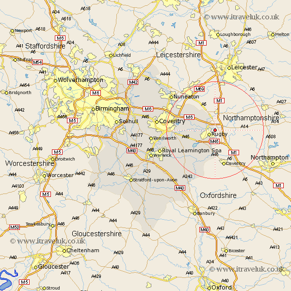
Warwickshire Map Showing Location of Clifton Upon Dunsmore
Population: 1219
District: Rugby
Easting: 453309 Northing: 276471
Latitude: 52.38 Longitude: -1.22
 = Clifton Upon Dunsmore
District: Rugby
Easting: 453309 Northing: 276471
Latitude: 52.38 Longitude: -1.22
= Clifton Upon Dunsmore
This Clifton Upon Dunsmore map below is supplied by Google. Use the tools in the top left corner to zoom into street level or zoom out for a road map, you may also need to zoom in to see Clifton Upon Dunsmore on the map. Click and drag the map to move around. If the map fails to load try and refresh your browser or zoom in or out (+ or -).
Update - it seems Google no longer allow people to use their maps for free! This Clifton Upon Dunsmore map sometimes loads and sometimes gives a error. I am working on a solution.
Closest 30 Towns or Cities to Clifton Upon Dunsmore (Population over 500)
Rugby 2.92km Long Lawford 5.95km Dunchurch 7.17km Brinklow 9.24km Wolston 11.46km Brandon 12.58km Shilton 14.48km Wolvey 15.07km Stockton 15.82km Bulkington 16.43km Long Itchington 17.21km Bubbenhall 17.86km Napton-on-the-Hill 18.01km Napton 18.01km Napton on the Hill 18.01km Baginton 18.2km Southam 18.66km Bedworth 19.32km Stoneleigh 20.7km Priors Marston 20.88km Keresley 22.19km Nuneaton 22.52km Allesley 22.92km Coventry 22.92km Harbury 23.02km Leamington 23.42km Royal Leamington Spa 23.42km Leamington Spa 23.42km Corley 23.79km Bishops Itchington 25.15km