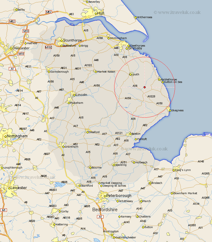
Lincolnshire Map Showing Location of Claythorpe
Population: 21
District: East Lindsey
Easting: 541096 Northing: 378378
Latitude: 53.28 Longitude: 0.12
 = Claythorpe
District: East Lindsey
Easting: 541096 Northing: 378378
Latitude: 53.28 Longitude: 0.12
= Claythorpe
This Claythorpe map below is supplied by Google. Use the tools in the top left corner to zoom into street level or zoom out for a road map, you may also need to zoom in to see Claythorpe on the map. Click and drag the map to move around. If the map fails to load try and refresh your browser or zoom in or out (+ or -).
Update - it seems Google no longer allow people to use their maps for free! This Claythorpe map sometimes loads and sometimes gives a error. I am working on a solution.
Closest 30 Towns or Cities to Claythorpe (Population over 500)
Alford 5.78km Legbourne 7.11km Willoughby 9.25km Manby 9.34km Grimoldby 9.53km Mablethorpe 10.46km Huttoft 10.64km Spilsby 11.17km Sutton on Sea 11.68km Sutton-on-Sea 11.68km Louth 12.82km Saltfleetby St. Clement 13.71km Saltfleetby Saint Clement 13.71km Saltfleetby 13.71km Saltfleetby St Clement 13.71km Chapel Saint Leonards 15.23km Chapel St. Leonards 15.23km Chapel St Leonards 15.23km Saltfleet 15.48km Mareham on the Hill 16.51km Mareham 16.51km Mareham-on-the-Hill 16.51km North Somercotes 16.83km Burgh le Marsh 17.28km Banovallum 18.08km Horncastle 18.08km Ingoldmells 18.21km Croft 18.9km Grainthorpe 20.51km Fulstow 20.54km