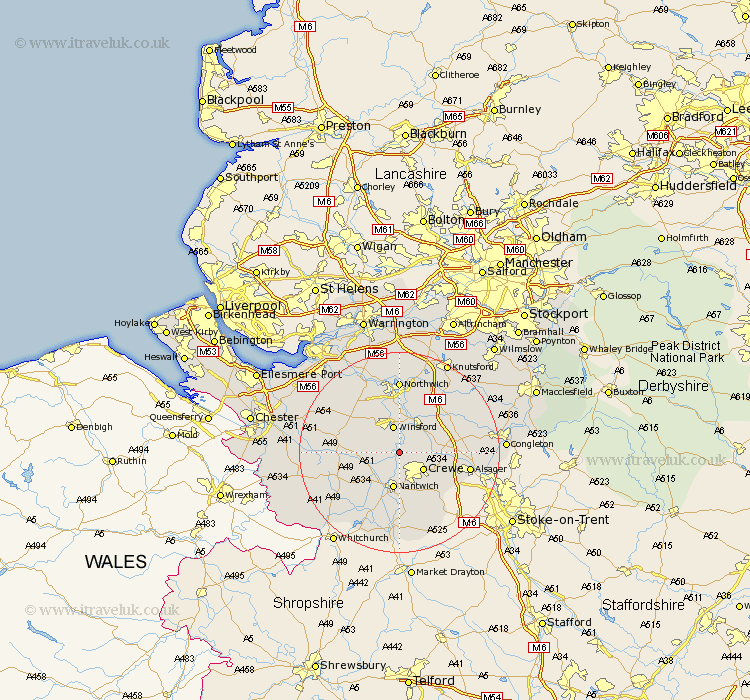
Cheshire Map Showing Location of Church Minshull
Population: 431
District: Crewe and Nantwich
Easting: 366551 Northing: 359720
Latitude: 53.13 Longitude: -2.5
 = Church Minshull
District: Crewe and Nantwich
Easting: 366551 Northing: 359720
Latitude: 53.13 Longitude: -2.5
= Church Minshull
This Church Minshull map below is supplied by Google. Use the tools in the top left corner to zoom into street level or zoom out for a road map, you may also need to zoom in to see Church Minshull on the map. Click and drag the map to move around. If the map fails to load try and refresh your browser or zoom in or out (+ or -).
Update - it seems Google no longer allow people to use their maps for free! This Church Minshull map sometimes loads and sometimes gives a error. I am working on a solution.
Closest 30 Towns or Cities to Church Minshull (Population over 500)
Winsford 5.67km Crewe 5.79km Wistaston 5.99km Middlewich 7.12km Middlewick 7.12km Nantwich 7.49km Willaston 7.49km Little Budworth 8.68km Sandbach 8.89km Whitegate 9.85km Bunbury 10.18km Davenham 11.17km Tarporley 11.27km Holmes Chapel 11.58km Wybunbury 11.61km Hartford 11.61km Brereton 11.72km Brereton cum Smethwick 11.72km Cuddington 12.96km Alsager 13.85km Weaverham 14.11km Delamere 14.47km Rode Heath 14.57km Wrenbury cum Frith 14.59km Wrenbury 14.59km Northwich 14.83km Northwick 14.83km Marston 14.83km Anderton 15km Lostock Gralam 15km