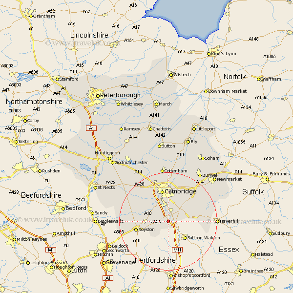
Cambridgeshire Map Showing Location of Duxford
Population: 1801
Area Size (ha): 74
District: South Cambridgeshire
Easting: 547301 Northing: 245002
Latitude: 52.08 Longitude: 0.15
 = Duxford
Area Size (ha): 74
District: South Cambridgeshire
Easting: 547301 Northing: 245002
Latitude: 52.08 Longitude: 0.15
= Duxford
This Duxford map below is supplied by Google. Use the tools in the top left corner to zoom into street level or zoom out for a road map, you may also need to zoom in to see Duxford on the map. Click and drag the map to move around. If the map fails to load try and refresh your browser or zoom in or out (+ or -).
Update - it seems Google no longer allow people to use their maps for free! This Duxford map sometimes loads and sometimes gives a error. I am working on a solution.
Closest 30 Towns or Cities to Duxford (Population over 500)
Ickleton 2.93km Whittlesford 3.71km Sawston 3.88km Thriplow 3.89km Fowlmere 4.56km Foulmere 4.56km Shelford 5.67km Foxton 6.79km Harston 7.18km Shepreth 7.77km Hauxton 8.16km Linton 8.18km Barrington 8.79km Haslingfield 8.81km Melborn 9.11km Melbourn 9.11km Meldreth 9.3km Needham Market 10.88km Fulbourne 12.01km Fulbourn 12.01km Orwell 12.67km Balsham 12.67km Wilbraham 13.04km Great Wilbraham 13.04km Cambridge 13.17km Teversham 13.17km Comberton 13.67km Bassingbourn 13.79km Coton 14.16km Castle Camps 15.27km