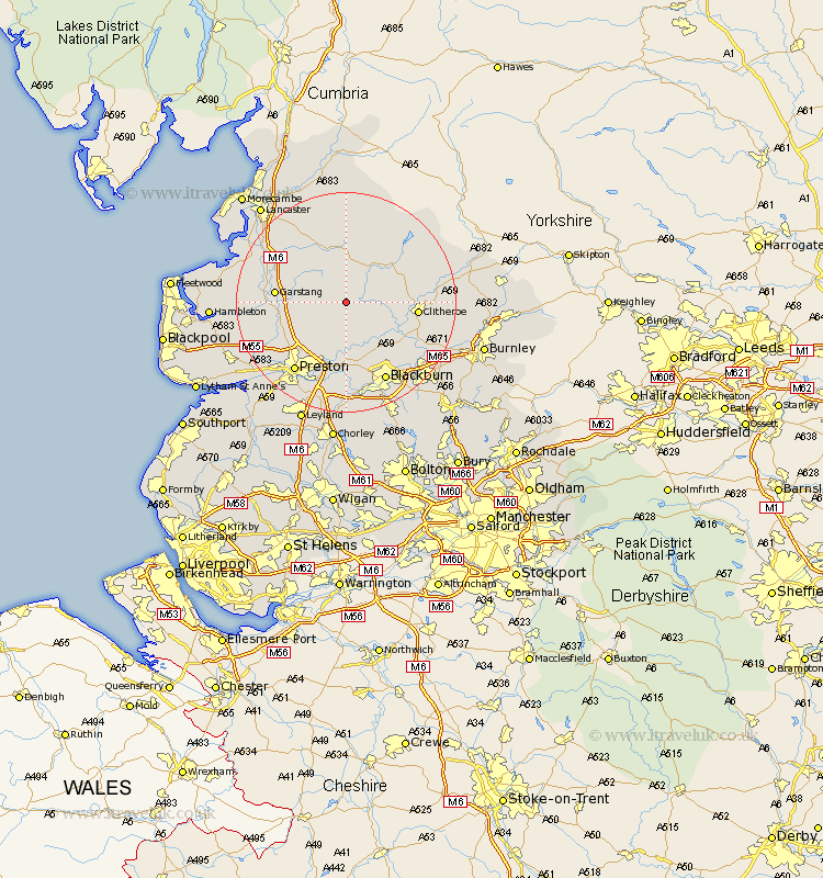
Lancashire Map Showing Location of Chipping
Population: 1046
District: Ribble Valley
Easting: 361660 Northing: 443192
Latitude: 53.88 Longitude: -2.58
 = Chipping
District: Ribble Valley
Easting: 361660 Northing: 443192
Latitude: 53.88 Longitude: -2.58
= Chipping
This Chipping map below is supplied by Google. Use the tools in the top left corner to zoom into street level or zoom out for a road map, you may also need to zoom in to see Chipping on the map. Click and drag the map to move around. If the map fails to load try and refresh your browser or zoom in or out (+ or -).
Update - it seems Google no longer allow people to use their maps for free! This Chipping map sometimes loads and sometimes gives a error. I am working on a solution.
Closest 30 Towns or Cities to Chipping (Population over 500)
Longridge 5.56km Claughton on Brock 8.93km Claughton-on-Brock 8.93km Claughton 8.93km Goosnargh 9.21km Ribchester 9.83km Grimsargh 9.83km Waddington 10.92km Garstang 12.16km Clitheroe 12.16km Catterall 12.16km Broughton 12.32km Barton 12.32km Langho 12.74km Wilpshire 12.91km Samlesbury 13.15km Whalley 13.2km Mellor 13.37km Grindleton 14.32km Woodplumpton 14.33km Forton 15.05km Chatburn 15.29km Great Harwood 15.6km Preston 15.64km Blackburn 16.21km Cockerham 16.99km Inskip 17.31km Penwortham 17.79km Sabden 17.99km Rishton 18.42km