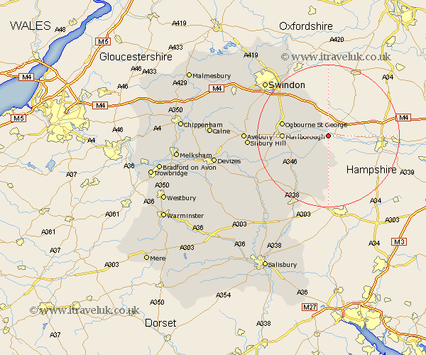
Wiltshire Map Showing Location of Chilton Foliat
Population: 394
District: Kennet
Easting: 432448 Northing: 168789
Latitude: 51.42 Longitude: -1.53
 = Chilton Foliat
District: Kennet
Easting: 432448 Northing: 168789
Latitude: 51.42 Longitude: -1.53
= Chilton Foliat
This Chilton Foliat map below is supplied by Google. Use the tools in the top left corner to zoom into street level or zoom out for a road map, you may also need to zoom in to see Chilton Foliat on the map. Click and drag the map to move around. If the map fails to load try and refresh your browser or zoom in or out (+ or -).
Update - it seems Google no longer allow people to use their maps for free! This Chilton Foliat map sometimes loads and sometimes gives a error. I am working on a solution.
Closest 30 Towns or Cities to Chilton Foliat (Population over 500)
Ramsbury 4.98km Bedwyn 7.23km Great Bedwyn 7.23km Shalbourn 7.51km Shalbourne 7.51km Aldbourne 8.02km Baydon 8.73km Grafton 11.58km Marlborough 12.71km Burbage 13.1km Bishopstone 14.7km Chiseldon 15.72km Collingbourne Ducis 16.9km Wanborough 17.36km Pewsey 17.67km Wroughton 20.58km Broad Hinton 22.07km North Tidworth 22.4km Tidworth 22.4km Swindon 23.28km Stratton Saint Margaret 23.84km Stratton 23.84km Stratton St Margaret 23.84km Stratton St. Margaret 23.84km Broad Town 24.26km Upavon 24.64km Highworth 25.05km Lugershall 25.42km Ludgershall 25.42km Enford 26.21km