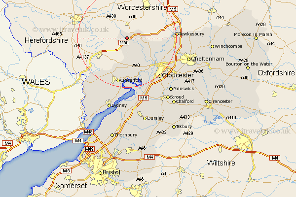
Gloucestershire Map Showing Location of Dymock
Population: 1141
District: Forest of Dean
Easting: 370243 Northing: 231785
Latitude: 51.98 Longitude: -2.43
 = Dymock
District: Forest of Dean
Easting: 370243 Northing: 231785
Latitude: 51.98 Longitude: -2.43
= Dymock
This Dymock map below is supplied by Google. Use the tools in the top left corner to zoom into street level or zoom out for a road map, you may also need to zoom in to see Dymock on the map. Click and drag the map to move around. If the map fails to load try and refresh your browser or zoom in or out (+ or -).
Update - it seems Google no longer allow people to use their maps for free! This Dymock map sometimes loads and sometimes gives a error. I am working on a solution.
Closest 30 Towns or Cities to Dymock (Population over 500)
Redmarley D'Abitot 5.71km Newent 6.01km Corse 10.7km Tibberton 10.88km Hartpury 11.76km Ashleworth 12.7km Longhope 13.02km Huntley 13.17km Milcheldean 13.41km Mitcheldean 13.41km Drybrook 15.51km Deerhurst 16.09km Lydbrook 18.04km Cinderford 18.84km Innsworth 19.48km Tewkesbury 19.49km Staverton 19.72km Newnham 20.38km Newham 20.38km Hardwicke 20.66km Gloucester 20.89km Quedgeley 21.19km Churchdown 21.4km Ashchurch 21.76km Hucclecote 22.67km Coleford 23.37km Swindon 23.51km Brockworth 23.54km Staunton 23.75km Awre 24.08km