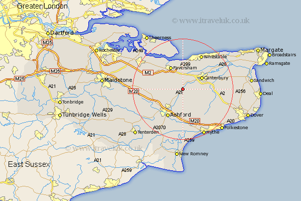
Kent Map Showing Location of Chilham
Population: 1595
District: Ashford
Easting: 607084 Northing: 152473
Latitude: 51.23 Longitude: 0.97
 = Chilham
District: Ashford
Easting: 607084 Northing: 152473
Latitude: 51.23 Longitude: 0.97
= Chilham
This Chilham map below is supplied by Google. Use the tools in the top left corner to zoom into street level or zoom out for a road map, you may also need to zoom in to see Chilham on the map. Click and drag the map to move around. If the map fails to load try and refresh your browser or zoom in or out (+ or -).
Update - it seems Google no longer allow people to use their maps for free! This Chilham map sometimes loads and sometimes gives a error. I am working on a solution.
Closest 30 Towns or Cities to Chilham (Population over 500)
Chartham 3.95km Selling 5.09km Dunkirk 5.68km Wye 6.02km Petham 6.09km Lower Hardres 6.96km Harbledown 7.24km Canterbury 8.85km Stelling 8.91km Blean 9.41km Hackington 9.84km Ospringe 10.17km Faversham 10.37km Bridge 10.44km Kennington 10.93km Oare 10.94km Brabourne 11.36km Hinxhill 11.36km Sturry 11.83km Charing 12.18km Ashford 12.54km Smeeth 12.96km Elham 13.97km Hothfield 13.97km Doddington 14.41km Littlebourne 14.41km Chestfield 14.72km Linsted 14.76km Lynsted 14.76km Sellindge 15km