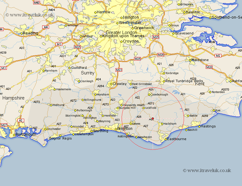
Sussex Map Showing Location of Chiddingly
Population: 864
District: Wealden
Easting: 553510 Northing: 113501
Latitude: 50.9 Longitude: 0.18
 = Chiddingly
District: Wealden
Easting: 553510 Northing: 113501
Latitude: 50.9 Longitude: 0.18
= Chiddingly
This Chiddingly map below is supplied by Google. Use the tools in the top left corner to zoom into street level or zoom out for a road map, you may also need to zoom in to see Chiddingly on the map. Click and drag the map to move around. If the map fails to load try and refresh your browser or zoom in or out (+ or -).
Update - it seems Google no longer allow people to use their maps for free! This Chiddingly map sometimes loads and sometimes gives a error. I am working on a solution.
Closest 30 Towns or Cities to Chiddingly (Population over 500)
East Hoathly 2.19km Laughton 3.97km Horeham 5.03km Horam 5.03km Hellingly 5.97km Chalvington 6.03km Framfield 6.57km Hailsham 6.92km Warbleton 7.93km Heathfield 8.06km Ringmer 8.39km Isfield 8.98km Hadlow Down 9.26km Uckfield 9.44km Buxted 9.9km Barcombe Mills Station 10.52km Hurstmonceaux 10.68km Herstmonceux 10.68km Hurstmonceux 10.68km Alfriston 11.36km Maresfield 11.61km Polegate 11.66km Mayfield 12.06km Chailey 12.94km Jevington 13.19km Newick 13.83km Fletching 14.01km Lewes 14.51km Rotherfield 15km Kingston 15.09km