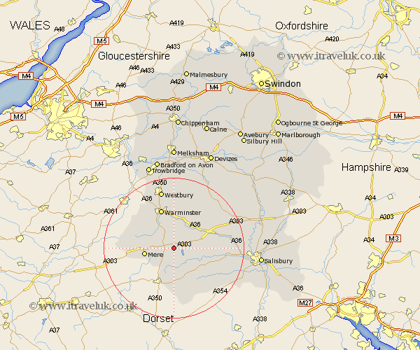
Wiltshire Map Showing Location of Chicklade
Population: 69
District: Salisbury
Easting: 390665 Northing: 133478
Latitude: 51.1 Longitude: -2.13
 = Chicklade
District: Salisbury
Easting: 390665 Northing: 133478
Latitude: 51.1 Longitude: -2.13
= Chicklade
This Chicklade map below is supplied by Google. Use the tools in the top left corner to zoom into street level or zoom out for a road map, you may also need to zoom in to see Chicklade on the map. Click and drag the map to move around. If the map fails to load try and refresh your browser or zoom in or out (+ or -).
Update - it seems Google no longer allow people to use their maps for free! This Chicklade map sometimes loads and sometimes gives a error. I am working on a solution.
Closest 30 Towns or Cities to Chicklade (Population over 500)
East Knoyle 4.38km Bishop's Knoyle 4.38km Tisbury 5.09km Semley 7.51km Codford 8.05km Mere 8.36km Longbridge Deverill 8.75km Heytesbury 9.33km Dinton 10.64km Fovant 10.85km Warminster 11.65km Zeal 12.8km Zeals 12.8km Steeple Langford 14.44km Longford 14.44km Corsley 15.32km Dilton 15.53km Broad Chalke 16.77km Westbury 17.04km Bratton 18.57km South Newton 18.62km Edington 18.68km Wilton 18.72km Shrewton 18.73km Bishopstone 18.75km West Lavington 19.09km Erlestoke 20.9km Combebissett 21.14km Coombe Bissett 21.14km North Bradley 21.19km