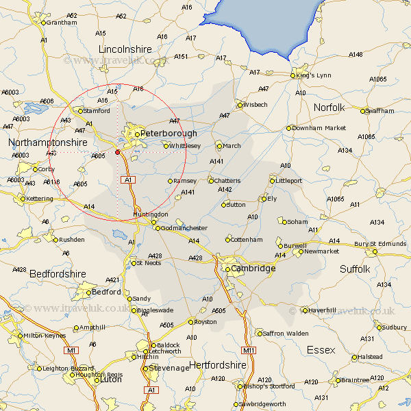
Cambridgeshire Map Showing Location of Chesterton
Population: 140
District: Huntingdonshire
Easting: 513037 Northing: 294171
Latitude: 52.53 Longitude: -0.33
 = Chesterton
District: Huntingdonshire
Easting: 513037 Northing: 294171
Latitude: 52.53 Longitude: -0.33
= Chesterton
This Chesterton map below is supplied by Google. Use the tools in the top left corner to zoom into street level or zoom out for a road map, you may also need to zoom in to see Chesterton on the map. Click and drag the map to move around. If the map fails to load try and refresh your browser or zoom in or out (+ or -).
Update - it seems Google no longer allow people to use their maps for free! This Chesterton map sometimes loads and sometimes gives a error. I am working on a solution.
Closest 30 Towns or Cities to Chesterton (Population over 500)
Orton Waterville 2.92km Elton 3.38km Castor 3.71km Folksworth 6km Stilton 6.51km Yaxley 6.75km Farcet 6.76km Peterborough 7.92km Petersborough 7.92km Peterbrough 7.92km Helpstone 9.27km Helpston 9.27km Holme 10.03km Barnack 10.31km Wittering 10.83km Glinton 11.62km Sawtry 12km Newborough 12.17km Eye 12.56km Northborough 13.41km Whittlesey 13.65km Ramsey 17.35km Thorney 18.29km Alconbury 19.07km Bury 20.44km Wistow 21.67km Spaldwick 22.24km Warboys 23.37km Ellington 24.32km Huntingdon 24.45km