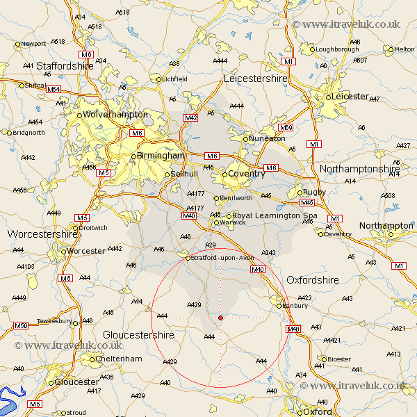
Warwickshire Map Showing Location of Cherington
Population: 205
District: Stratford-on-Avon
Easting: 429734 Northing: 235499
Latitude: 52.02 Longitude: -1.57
 = Cherington
District: Stratford-on-Avon
Easting: 429734 Northing: 235499
Latitude: 52.02 Longitude: -1.57
= Cherington
This Cherington map below is supplied by Google. Use the tools in the top left corner to zoom into street level or zoom out for a road map, you may also need to zoom in to see Cherington on the map. Click and drag the map to move around. If the map fails to load try and refresh your browser or zoom in or out (+ or -).
Update - it seems Google no longer allow people to use their maps for free! This Cherington map sometimes loads and sometimes gives a error. I am working on a solution.
Closest 30 Towns or Cities to Cherington (Population over 500)
Brailes 2.93km Lower Brailes 2.93km Long Compton 3.88km Shipston-on-Stour 5.04km Shipston on Stour 5.04km Church Tysoe 8.7km Middle Tysoe 8.7km Tysoe 8.7km Ilmington 10.89km Eatington 13.16km Ettington 13.16km Kineton 15.51km Quinton 15.92km Wellesbourne Hastings 18.56km Wellesbourne 18.56km Lighthorne 19.08km Fenny Compton 19.41km Stratford on Avon 20.64km Stratford-upon-Avon 20.64km Stratford-on-Avon 20.64km Stratford upon Avon 20.64km Stratford 20.64km Bishops Itchington 22.32km Bishops Tachbrook 24.19km Barford 24.19km Harbury 25.37km Whitnash 26.17km Salford Priors 26.23km Bearley 26.64km Snitterfield 26.64km