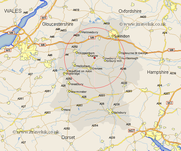
Wiltshire Map Showing Location of Cherhill
Population: 720
District: North Wiltshire
Easting: 403476 Northing: 168687
Latitude: 51.42 Longitude: -1.95
 = Cherhill
District: North Wiltshire
Easting: 403476 Northing: 168687
Latitude: 51.42 Longitude: -1.95
= Cherhill
This Cherhill map below is supplied by Google. Use the tools in the top left corner to zoom into street level or zoom out for a road map, you may also need to zoom in to see Cherhill on the map. Click and drag the map to move around. If the map fails to load try and refresh your browser or zoom in or out (+ or -).
Update - it seems Google no longer allow people to use their maps for free! This Cherhill map sometimes loads and sometimes gives a error. I am working on a solution.
Closest 30 Towns or Cities to Cherhill (Population over 500)
Calne 3.93km Bishops Cannings 5.56km Hilmarton 5.68km Hillmarton 5.68km Roundway 6.02km Bremhill 6.86km Devizes 7.77km Broad Town 9.39km Rowde 9.4km Broad Hinton 10.96km Lyneham 11.18km Christian Malford 11.57km Laycock 11.71km Lacock 11.71km Seend 11.86km Potterne 12.04km Chippenham 12.13km Urchfont 13.03km Sutton Benger 13.08km Wooton Bassett 13.42km Wootton Bassett 13.42km Worton 13.76km Melksham 13.88km Brinkworth 15km Market Lavington 15.01km Lavington 15.01km Corsham 15.14km Great Somerford 15.28km Somerford 15.28km Semington 15.74km