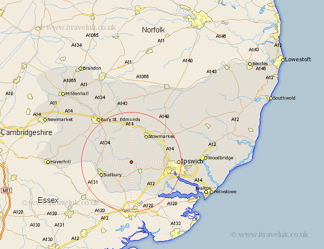
Suffolk Map Showing Location of Chelsworth
Population: 146
District: Babergh
Easting: 598677 Northing: 246785
Latitude: 52.08 Longitude: 0.9
 = Chelsworth
District: Babergh
Easting: 598677 Northing: 246785
Latitude: 52.08 Longitude: 0.9
= Chelsworth
This Chelsworth map below is supplied by Google. Use the tools in the top left corner to zoom into street level or zoom out for a road map, you may also need to zoom in to see Chelsworth on the map. Click and drag the map to move around. If the map fails to load try and refresh your browser or zoom in or out (+ or -).
Update - it seems Google no longer allow people to use their maps for free! This Chelsworth map sometimes loads and sometimes gives a error. I am working on a solution.
Closest 30 Towns or Cities to Chelsworth (Population over 500)
Bildeston 2.18km Hitcham 3.71km Hadleigh 5.04km Great Bricett 6.8km Lavenham 7.08km Boxford 7.75km Ringshall 7.96km Great Waldingfield 8.18km Waldingfield 8.18km Layham 8.69km Polstead 9.26km Finborough 9.55km Great Finborough 9.55km Somersham 10.41km Great Cornard 10.68km Cockfield 10.88km Hintlesham 10.9km Rattlesden 11.18km Stowmarket 12.49km Long Melford 12.67km Sudbury 12.68km Lawshall 13.58km Great Blakenham 13.79km Bramford 13.79km Sproughton 14.16km Sprughton 14.16km Bradfield 14.66km Bradfield Saint George 14.66km Bradfield St George 14.66km Bradfield St. George 14.66km