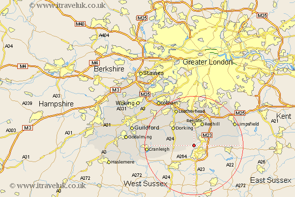
Surrey Map Showing Location of Charlwood
Population: 2027
District: Mole Valley
Easting: 524715 Northing: 140541
Latitude: 51.15 Longitude: -0.22
 = Charlwood
District: Mole Valley
Easting: 524715 Northing: 140541
Latitude: 51.15 Longitude: -0.22
= Charlwood
This Charlwood map below is supplied by Google. Use the tools in the top left corner to zoom into street level or zoom out for a road map, you may also need to zoom in to see Charlwood on the map. Click and drag the map to move around. If the map fails to load try and refresh your browser or zoom in or out (+ or -).
Update - it seems Google no longer allow people to use their maps for free! This Charlwood map sometimes loads and sometimes gives a error. I am working on a solution.
Closest 30 Towns or Cities to Charlwood (Population over 500)
Charlwood 0km Horley 3.95km Newdigate 4.65km Leigh 5.68km Salfords 6.56km Capel 7.22km Holmwood 7.89km Burstow 8.35km Reigate 9.26km Ockley 9.49km Betchworth 9.55km Buckland 9.55km Redhill 9.9km Nutfield 10.18km Horne 10.62km Dorking 11.01km Westcott 11.89km Bletchingley 12.32km Wotton 12.88km Mickleham 13.12km Abinger 13.31km Felbridge 13.32km Godstone 13.97km Lingfield 14.07km Tadworth 14.87km Ewhurst 15.23km Tandridge 15.78km Caterham 15.96km Leatherhead 16.38km Oxted 16.74km