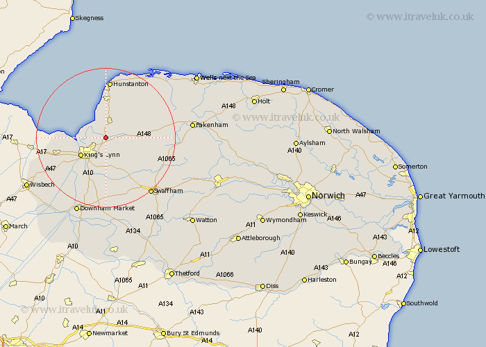
Norfolk Map Showing Location of Castle Rising
Population: 225
District: King's Lynn and West Norfolk
Easting: 567396 Northing: 325420
Latitude: 52.8 Longitude: 0.48
 = Castle Rising
District: King's Lynn and West Norfolk
Easting: 567396 Northing: 325420
Latitude: 52.8 Longitude: 0.48
= Castle Rising
This Castle Rising map below is supplied by Google. Use the tools in the top left corner to zoom into street level or zoom out for a road map, you may also need to zoom in to see Castle Rising on the map. Click and drag the map to move around. If the map fails to load try and refresh your browser or zoom in or out (+ or -).
Update - it seems Google no longer allow people to use their maps for free! This Castle Rising map sometimes loads and sometimes gives a error. I am working on a solution.
Closest 30 Towns or Cities to Castle Rising (Population over 500)
North Wootton 3.84km South Wootton 5km Dersingham 5.67km Grimston 5.81km Snettisham 7.5km East Winch 7.5km Ingoldisthorpe 7.75km Ingoldesthorpe 7.75km Gayton 8.67km Lynn 8.73km Lynn Regis 8.73km Kings Lynn 8.73km King's Lynn 8.73km Middleton 9.33km Clenchwarton 10.55km Great Bircham 11.51km Bircham 11.51km North Runcton 11.62km Sedgeford 11.99km Massingham 12.87km Great Massingham 12.87km Heacham 12.98km Terrington Saint Clement 13.53km Terrington 13.53km Terrington St Clement 13.53km Terrington St. Clement 13.53km Docking 14.28km Narborough 14.62km East Rudham 15.79km Watlington 16.28km