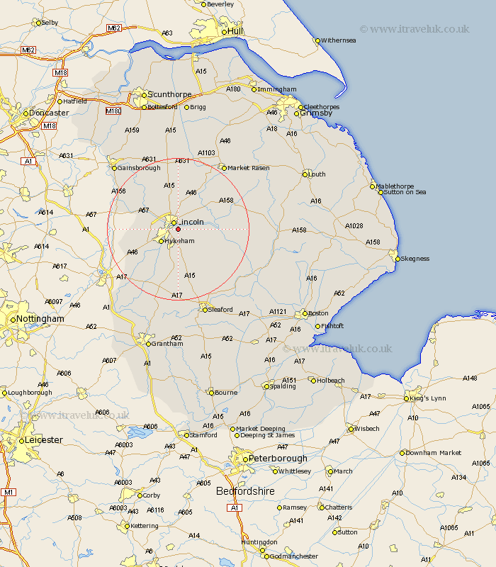
Lincolnshire Map Showing Location of Canwick
Population: 339
District: North Kesteven
Easting: 499035 Northing: 369907
Latitude: 53.22 Longitude: -0.52
 = Canwick
District: North Kesteven
Easting: 499035 Northing: 369907
Latitude: 53.22 Longitude: -0.52
= Canwick
This Canwick map below is supplied by Google. Use the tools in the top left corner to zoom into street level or zoom out for a road map, you may also need to zoom in to see Canwick on the map. Click and drag the map to move around. If the map fails to load try and refresh your browser or zoom in or out (+ or -).
Update - it seems Google no longer allow people to use their maps for free! This Canwick map sometimes loads and sometimes gives a error. I am working on a solution.
Closest 30 Towns or Cities to Canwick (Population over 500)
Lincoln 2.15km Washingborough 3.33km Heighington 3.81km Branston 4.99km Waddington 5.67km Hykeham 5.79km North Hykeham 5.79km Reepham 5.85km Fiskerton 5.85km Nettleham 5.99km Cherry Willingham 6.3km Skellingthorpe 6.91km Sudbrooke 7.11km Potter Hanworth 7.63km Thorpe on the Hill 8.61km Thorpe-on-the-Hill 8.61km Thorpe 8.61km Scothern 8.63km Nocton 8.68km Welton 9.52km Scampton 9.84km Scrampton 9.84km Dunholm 9.84km Dunholme 9.84km Aubourn 9.97km Saxilby 10.47km Dunston 10.74km Eagle 11.71km Metheringham 12.1km Navenby 12.98km