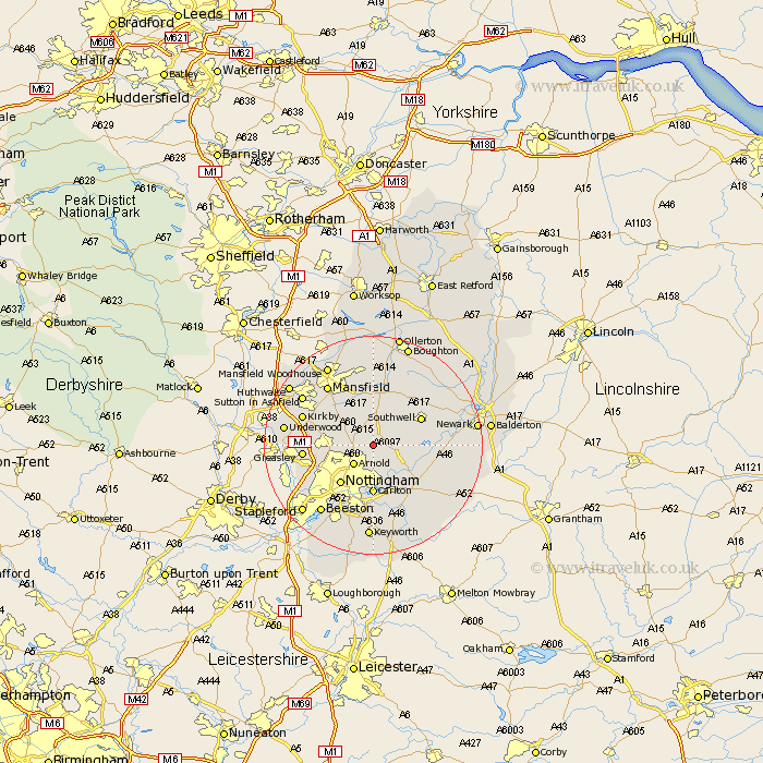
Nottinghamshire Map Showing Location of Calverton
Population: 6570
Area Size (ha): 143
District: Gedling
Easting: 461464 Northing: 348873
Latitude: 53.03 Longitude: -1.08
 = Calverton
Area Size (ha): 143
District: Gedling
Easting: 461464 Northing: 348873
Latitude: 53.03 Longitude: -1.08
= Calverton
This Calverton map below is supplied by Google. Use the tools in the top left corner to zoom into street level or zoom out for a road map, you may also need to zoom in to see Calverton on the map. Click and drag the map to move around. If the map fails to load try and refresh your browser or zoom in or out (+ or -).
Update - it seems Google no longer allow people to use their maps for free! This Calverton map sometimes loads and sometimes gives a error. I am working on a solution.
Closest 30 Towns or Cities to Calverton (Population over 500)
Woodborough 2.16km Oxton 2.16km Arnold 4.99km Lambley 5.67km Burton Joyce 6.49km Blidworth 6.49km Papplewick 6.94km Farnsfield 8.13km Shelford 8.65km Colwick 9.26km Carlton 9.26km Nottigham 9.27km Nottingham 9.27km Rainworth 9.54km Newstead 9.66km Southwell 9.72km Bleasby 10.03km Annesley 11.3km East Bridgford 11.6km Bilsthorpe 11.61km Radcliffe on Trent 11.61km Radcliffe 11.61km Radcliffe-on-Trent 11.61km Fiskerton 12.4km Fiskerton Ferry 12.4km Greasley 12.4km Tollerton 12.97km West Bridgeford 13.16km West Bridgford 13.16km Kirkby in Ashfield 13.45km