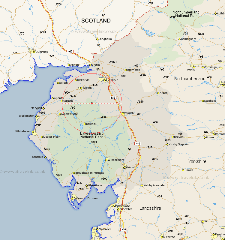
Cumbria Map Showing Location of Caldbeck
Population: 714
District: Allerdale
Easting: 332396 Northing: 538108
Latitude: 54.73 Longitude: -3.05
 = Caldbeck
District: Allerdale
Easting: 332396 Northing: 538108
Latitude: 54.73 Longitude: -3.05
= Caldbeck
This Caldbeck map below is supplied by Google. Use the tools in the top left corner to zoom into street level or zoom out for a road map, you may also need to zoom in to see Caldbeck on the map. Click and drag the map to move around. If the map fails to load try and refresh your browser or zoom in or out (+ or -).
Update - it seems Google no longer allow people to use their maps for free! This Caldbeck map sometimes loads and sometimes gives a error. I am working on a solution.
Closest 30 Towns or Cities to Caldbeck (Population over 500)
Hesket Newmarket 2.14km Westward 7.71km Thursby 11.12km Dalston 11.91km Skelton 12.34km Wigton 12.84km Greystoke 14.99km Koswick 15.43km Keswick 15.43km Bromfield 15.75km Carlisle 18.28km Aspatria 18.28km Dacre 19.03km Kirkbride 19.25km Stanwix 19.99km Burgh-by-Sands 20.39km Burgh by Sands 20.39km Burgh 20.39km Cockermouth 20.65km Wetheral 21.06km Bridekirk 21.09km Ainstable 21.62km Lasonby 22.47km Lazonby 22.47km Rockcliffe 22.65km Rockcliff 22.65km Kirkoswald 22.77km Crosscanonby 24.61km Dearham 24.9km Silloth 25.14km