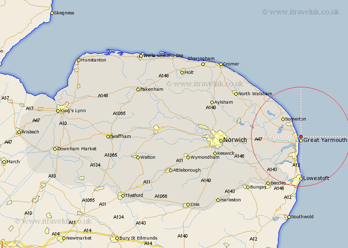
Norfolk Map Showing Location of Caister On Sea
Population: 7939
Area Size (ha): 267
District: Great Yarmouth
Easting: 653622 Northing: 312448
Latitude: 52.65 Longitude: 1.75
 = Caister On Sea
Area Size (ha): 267
District: Great Yarmouth
Easting: 653622 Northing: 312448
Latitude: 52.65 Longitude: 1.75
= Caister On Sea
This Caister On Sea map below is supplied by Google. Use the tools in the top left corner to zoom into street level or zoom out for a road map, you may also need to zoom in to see Caister On Sea on the map. Click and drag the map to move around. If the map fails to load try and refresh your browser or zoom in or out (+ or -).
Update - it seems Google no longer allow people to use their maps for free! This Caister On Sea map sometimes loads and sometimes gives a error. I am working on a solution.
Closest 30 Towns or Cities to Caister On Sea (Population over 500)
Great Yarmouth 1.86km Yarmouth 1.86km Ormesby St Margaret 3.85km Ormesby St. Margaret 3.85km Ormesby Saint Margaret 3.85km Great Ormesby 3.85km Hemsby 5.01km Filby 5.62km Rollesby 6.73km Winterton on Sea 8.15km Winterton-on-Sea 8.15km Winterton 8.15km Belton 10.3km Martham 10.57km Hopton on Sea 13.03km Hopton-on-Sea 13.03km Hopton 13.03km Upton 13.49km Acle 13.62km Potter Heigham 14.41km South Walsham 14.62km Fritton 15.18km Freethorpe 15.41km Ludham 15.63km Hickling 15.8km Reedham 16.64km Catfield 17.29km Horning 17.75km Thurlton 17.94km Cantley 18.28km