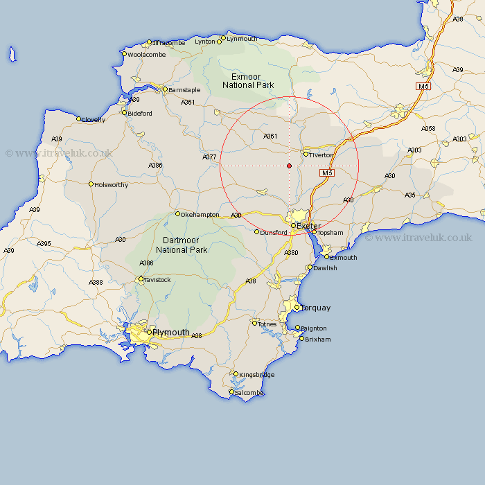
Devon Map Showing Location of Cadeleigh
Population: 187
District: Mid Devon
Easting: 290938 Northing: 108672
Latitude: 50.87 Longitude: -3.55
 = Cadeleigh
District: Mid Devon
Easting: 290938 Northing: 108672
Latitude: 50.87 Longitude: -3.55
= Cadeleigh
This Cadeleigh map below is supplied by Google. Use the tools in the top left corner to zoom into street level or zoom out for a road map, you may also need to zoom in to see Cadeleigh on the map. Click and drag the map to move around. If the map fails to load try and refresh your browser or zoom in or out (+ or -).
Update - it seems Google no longer allow people to use their maps for free! This Cadeleigh map sometimes loads and sometimes gives a error. I am working on a solution.
Closest 30 Towns or Cities to Cadeleigh (Population over 500)
Cheriton Fitzpaine 5.03km Tiverton 5.97km Silverton 7.27km Thorverton 7.51km Sandford 9.9km Halberton 10.06km Bradninch 10.07km Cullompton 10.53km Crediton 11.63km Newton Saint Cyres 11.66km Newton St Cyres 11.66km St. Cyres 11.66km Newton St. Cyres 11.66km St Cyres 11.66km Saint Cyres 11.66km Stoke Canon 11.66km Sampford Peverell 12.87km Witheridge 12.94km Willand 13km Bampton 13.78km Broad Clyst 13.81km Morchard Bishop 14.16km Plymtree 15.1km Whitestone 15.24km Uffculme 15.65km Copplestone 15.88km Kentisbeare 16.37km Rockbeare 17.48km Lapford 17.54km Tedburn St Mary 17.54km