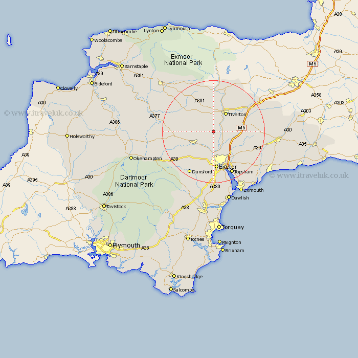
Devon Map Showing Location of Cadbury
Population: 136
District: Mid Devon
Easting: 290860 Northing: 104958
Latitude: 50.83 Longitude: -3.55
 = Cadbury
District: Mid Devon
Easting: 290860 Northing: 104958
Latitude: 50.83 Longitude: -3.55
= Cadbury
This Cadbury map below is supplied by Google. Use the tools in the top left corner to zoom into street level or zoom out for a road map, you may also need to zoom in to see Cadbury on the map. Click and drag the map to move around. If the map fails to load try and refresh your browser or zoom in or out (+ or -).
Update - it seems Google no longer allow people to use their maps for free! This Cadbury map sometimes loads and sometimes gives a error. I am working on a solution.
Closest 30 Towns or Cities to Cadbury (Population over 500)
Thorverton 3.88km Silverton 5.03km Cheriton Fitzpaine 5.04km Newton Saint Cyres 8.2km St Cyres 8.2km Newton St Cyres 8.2km Newton St. Cyres 8.2km Saint Cyres 8.2km St. Cyres 8.2km Stoke Canon 8.2km Sandford 8.4km Tiverton 8.77km Crediton 8.96km Bradninch 9.36km Broad Clyst 11.05km Cullompton 11.17km Whitestone 11.66km Halberton 11.94km Willand 14.02km Morchard Bishop 14.16km Plymtree 14.17km Holcombe Burnell 14.23km Copplestone 14.53km Tedburn St. Mary 14.54km Tedburn St Mary 14.54km Tedburn Saint Mary 14.54km Ide 14.87km Exeter 14.87km Witheridge 14.93km Rockbeare 14.93km