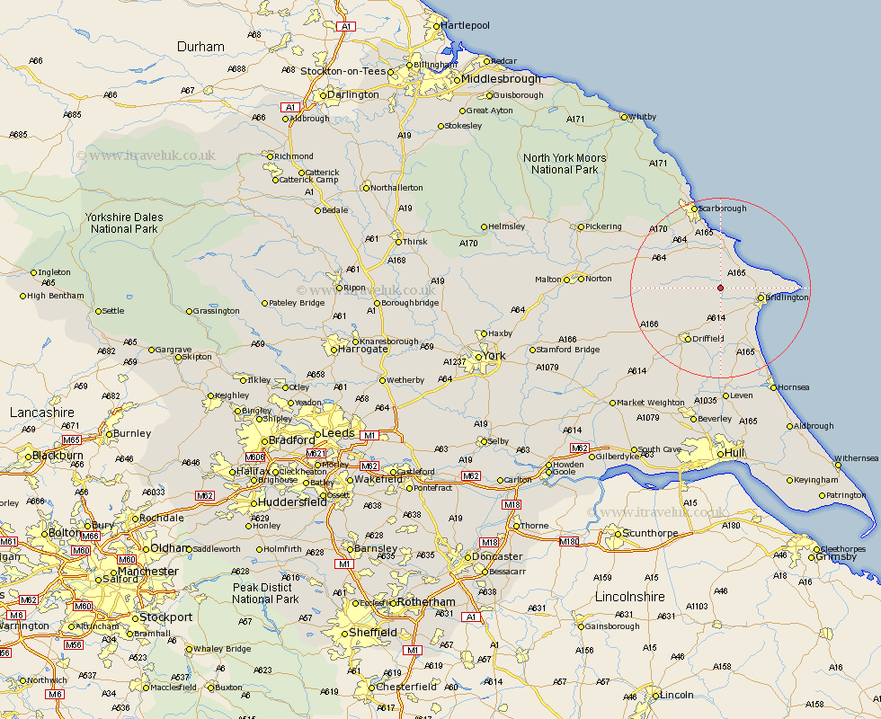
Yorkshire Map Showing Location of North Burton
Population: 363
Easting: 508928 Northing: 470284
Latitude: 54.12 Longitude: -0.33
 = North Burton
Easting: 508928 Northing: 470284
Latitude: 54.12 Longitude: -0.33
= North Burton
This North Burton map below is supplied by Google. Use the tools in the top left corner to zoom into street level or zoom out for a road map, you may also need to zoom in to see North Burton on the map. Click and drag the map to move around. If the map fails to load try and refresh your browser or zoom in or out (+ or -).
Update - it seems Google no longer allow people to use their maps for free! This North Burton map sometimes loads and sometimes gives a error. I am working on a solution.
Closest 30 Towns or Cities to North Burton (Population over 500)
Hunmanby 5.67km Great Driffield 6.78km Kilham 7.73km Bridlington 8.52km Willerby 10.61km Filey 10.77km Bempton 11.02km Nafferton 11.59km Cayton 13.15km Sherburn 13.17km Eastfield 13.68km Driffield 13.86km Flamborough 14.25km Seamer 14.51km Beeford 17.24km Brompton 17.96km Skipsea 18.34km Dunnington 19.32km North Frodingham 19.34km Scalby 19.63km Cranswick 19.65km Scarborough 19.67km Snainton 19.71km Wetwang 20.01km Yedingham 20.64km Brandesburton 22.34km Brandsburton 22.34km Burniston 23.17km Rillington 24.17km Cloughton 24.95km