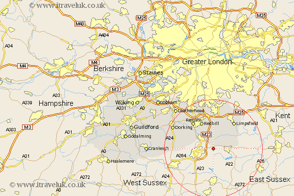
Surrey Map Showing Location of Burstow
Population: 4301
District: Tandridge
Easting: 532921 Northing: 138888
Latitude: 51.13 Longitude: -0.1
 = Burstow
District: Tandridge
Easting: 532921 Northing: 138888
Latitude: 51.13 Longitude: -0.1
= Burstow
This Burstow map below is supplied by Google. Use the tools in the top left corner to zoom into street level or zoom out for a road map, you may also need to zoom in to see Burstow on the map. Click and drag the map to move around. If the map fails to load try and refresh your browser or zoom in or out (+ or -).
Update - it seems Google no longer allow people to use their maps for free! This Burstow map sometimes loads and sometimes gives a error. I am working on a solution.
Closest 30 Towns or Cities to Burstow (Population over 500)
Horne 4.38km Felbridge 5.01km Horley 5.95km Lingfield 6.9km Charlwood 8.35km Salfords 8.75km Nutfield 9.35km Bletchingley 11.12km Godstone 11.36km Leigh 11.89km Redhill 12.05km Tandridge 12.05km Oxted 12.55km Newdigate 12.92km Reigate 13.78km Limpsfield 13.78km Caterham 14.88km Capel 15.12km Buckland 15.26km Betchworth 15.26km Holmwood 16.1km Woldingham 17.31km Ockley 17.44km Dorking 18.72km Warlingham 18.86km Tadworth 19.09km Tatsfield 19.1km Westcott 19.74km Mickleham 19.91km Whyteleafe 20.42km