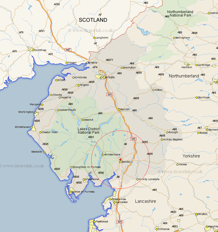
Cumbria Map Showing Location of Burneside
District: South Lakeland
Easting: 351236 Northing: 493357
Latitude: 54.33 Longitude: -2.75
 = Burneside
Easting: 351236 Northing: 493357
Latitude: 54.33 Longitude: -2.75
= Burneside
This Burneside map below is supplied by Google. Use the tools in the top left corner to zoom into street level or zoom out for a road map, you may also need to zoom in to see Burneside on the map. Click and drag the map to move around. If the map fails to load try and refresh your browser or zoom in or out (+ or -).
Update - it seems Google no longer allow people to use their maps for free! This Burneside map sometimes loads and sometimes gives a error. I am working on a solution.
Closest 30 Towns or Cities to Burneside (Population over 500)
Kendall 1.85km Kendal 1.85km Natland 5.66km Staveley 5.7km Levens 9.51km Heversham 11.17km Windermere 11.42km Milnthorpe 13.01km Tebay 14.23km Beetham 14.86km Sedbergh 15.24km Milnthorpe 15.24km Millthrop 15.24km Hawkshead 16.62km Holme 16.82km Ambleside 16.82km Arnside 17.54km Kirkby Lonsdale 18.35km Kirkby Londsdale 18.35km Orton 18.99km Haverthwaite 20.57km Colton 20.83km Dent 20.83km Coniston 20.86km Conistan 20.86km Shap 21.09km Lower Holker 21.82km Holker 21.82km Crosby Ravensworth 23.07km Ravenstonedale 23.5km