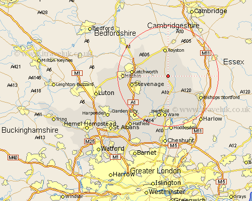
Hertfordshire Map Showing Location of Buntingford
Population: 4278
Area Size (ha): 118
District: East Hertfordshire
Easting: 536288 Northing: 229850
Latitude: 51.95 Longitude: -0.02
 = Buntingford
Area Size (ha): 118
District: East Hertfordshire
Easting: 536288 Northing: 229850
Latitude: 51.95 Longitude: -0.02
= Buntingford
This Buntingford map below is supplied by Google. Use the tools in the top left corner to zoom into street level or zoom out for a road map, you may also need to zoom in to see Buntingford on the map. Click and drag the map to move around. If the map fails to load try and refresh your browser or zoom in or out (+ or -).
Update - it seems Google no longer allow people to use their maps for free! This Buntingford map sometimes loads and sometimes gives a error. I am working on a solution.
Closest 30 Towns or Cities to Buntingford (Population over 500)
Buntingford 0km Hormead 3.43km Cottered 4.93km Barkway 6.01km Braughing 6.01km Therfield 7.76km Standon 8.17km Walkern 8.81km Albury 8.83km Benington 9.36km Bennington 9.36km Little Munden 9.54km Barley 9.88km Little Hadham 10.1km Weston 10.28km Royston 11.18km Aston 11.77km Baldock 12km Watton at Stone 12.5km Watton 12.5km Graveley 12.7km Thundridge 12.98km Ashwell 13.01km Much Hadham 13.07km Letchworth 13.83km Great Wymondley 13.83km Wymondley 13.83km Stapleford 14.18km Stevenage 14.2km Datchworth 14.4km