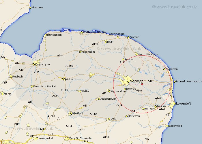
Norfolk Map Showing Location of Brundall
Population: 5912
Area Size (ha): 210
District: South Norfolk
Easting: 632388 Northing: 307677
Latitude: 52.62 Longitude: 1.43
 = Brundall
Area Size (ha): 210
District: South Norfolk
Easting: 632388 Northing: 307677
Latitude: 52.62 Longitude: 1.43
= Brundall
This Brundall map below is supplied by Google. Use the tools in the top left corner to zoom into street level or zoom out for a road map, you may also need to zoom in to see Brundall on the map. Click and drag the map to move around. If the map fails to load try and refresh your browser or zoom in or out (+ or -).
Update - it seems Google no longer allow people to use their maps for free! This Brundall map sometimes loads and sometimes gives a error. I am working on a solution.
Closest 30 Towns or Cities to Brundall (Population over 500)
Blofield 1.13km Lingwood 3.38km Great Plumstead 4.33km Thorpe next Norwich 5.92km Thorpe Episcopi 5.92km Thorpe 5.92km Thorpe Saint Andrew 5.92km Thorpe St. Andrew 5.92km Thorpe St Andrew 5.92km Thurton 7.42km Salhouse 7.49km South Walsham 7.7km Cantley 7.91km Acle 8.09km Brooke 8.15km Rackheath 8.66km Upton 8.7km Freethorpe 8.71km Spixworth 8.74km Norwich 9.19km Poringland 9.31km Wroxham 9.53km Hoveton 9.61km Horning 10.3km Chedgrave 10.31km Loddon 11.35km Ludham 11.46km Stoke Holy Cross 11.67km Reedham 11.67km Horstead 12.46km