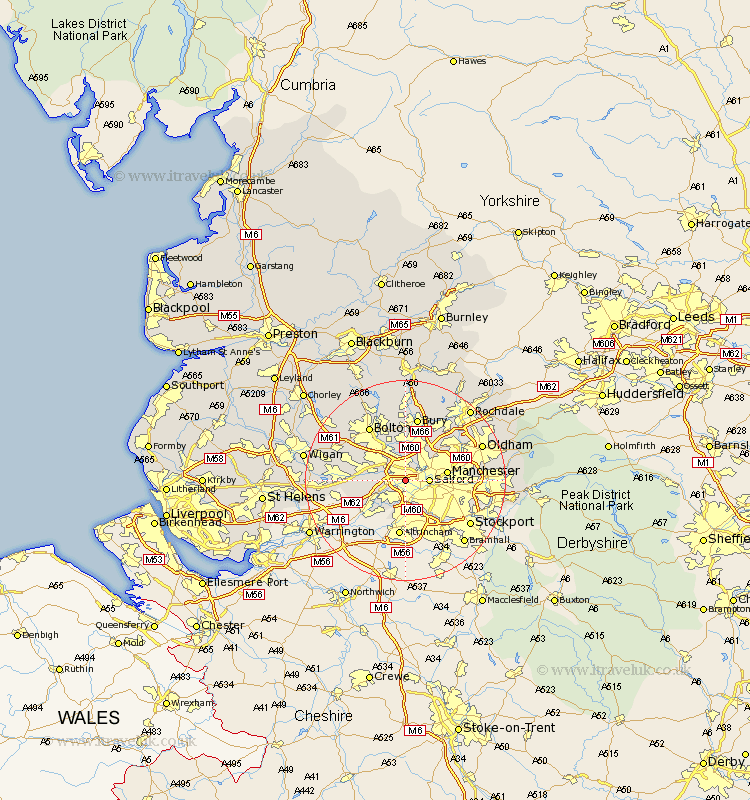
Lancashire Map Showing Location of Eccles
Population: 35241
Area Size (ha): 783
District: Salford
Easting: 377882 Northing: 398588
Latitude: 53.48 Longitude: -2.33
 = Eccles
Area Size (ha): 783
District: Salford
Easting: 377882 Northing: 398588
Latitude: 53.48 Longitude: -2.33
= Eccles
This Eccles map below is supplied by Google. Use the tools in the top left corner to zoom into street level or zoom out for a road map, you may also need to zoom in to see Eccles on the map. Click and drag the map to move around. If the map fails to load try and refresh your browser or zoom in or out (+ or -).
Update - it seems Google no longer allow people to use their maps for free! This Eccles map sometimes loads and sometimes gives a error. I am working on a solution.
Closest 30 Towns or Cities to Eccles (Population over 500)
Swinton 2.16km Pendlebury 3.71km Stretford 3.86km Urmston 3.86km Salford 4.41km Walkden 5.76km Kearsley 6.47km Prestwich 6.47km Radcliffe 7.42km Little Lever 7.74km Whitefield 7.74km Irlam 7.83km Manchester 7.94km Farnworth 8.63km Tyldesley 9.57km Middleton 11.52km Atherton 11.63km Leigh 12.13km Droylesden 12.13km Droylsden 12.13km Bolton 12.94km Tottington 12.98km Bury 13.16km Heywood 13.53km Bradshaw 13.7km Bromley Cross 13.7km Failsworth 13.74km Chadderton 13.75km Westhoughton 14.21km Denton 14.81km