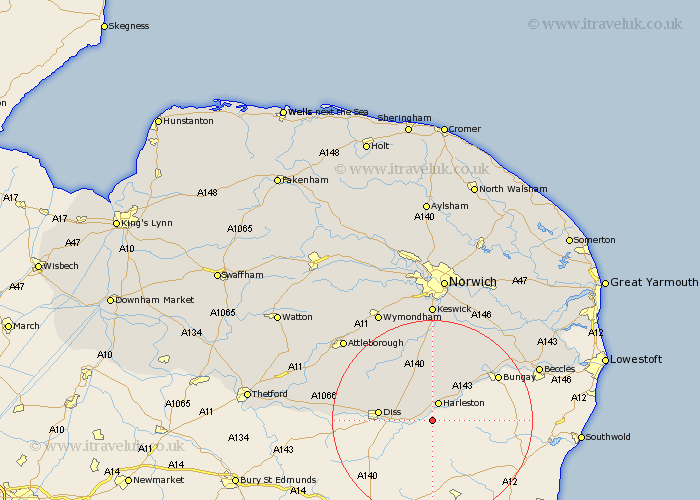
Norfolk Map Showing Location of Brockdish
Population: 605
District: South Norfolk
Easting: 622369 Northing: 279359
Latitude: 52.37 Longitude: 1.27
 = Brockdish
District: South Norfolk
Easting: 622369 Northing: 279359
Latitude: 52.37 Longitude: 1.27
= Brockdish
This Brockdish map below is supplied by Google. Use the tools in the top left corner to zoom into street level or zoom out for a road map, you may also need to zoom in to see Brockdish on the map. Click and drag the map to move around. If the map fails to load try and refresh your browser or zoom in or out (+ or -).
Update - it seems Google no longer allow people to use their maps for free! This Brockdish map sometimes loads and sometimes gives a error. I am working on a solution.
Closest 30 Towns or Cities to Brockdish (Population over 500)
Harleston 3.87km Pulham 5.67km Scole 6.79km Burston 8.74km Diss 10.35km Roydon 11.32km Moulton 12.47km Moulton St. Michael 12.47km Great Moulton 12.47km Moulton Saint Michael 12.47km Moulton St Michael 12.47km Long Stratton 13.16km Earsham 13.76km Hempnall 14.99km Forncett 15.5km Forncett St Mary 15.5km Forncett Saint Mary 15.5km Forncett St. Mary 15.5km Bunwell 15.81km Ditchingham 15.86km Bressingham 15.95km Banham 18.34km Ellingham 18.43km North Lopham 18.47km Saxlingham 18.53km Saxlingham Thorpe 18.53km Ashwellthorpe 19.37km Old Buckenham 19.59km Mulbarton 20.51km Stoke Holy Cross 20.51km