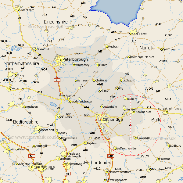
Cambridgeshire Map Showing Location of Brinkley
Population: 383
District: East Cambridgeshire
Easting: 562981 Northing: 254771
Latitude: 52.17 Longitude: 0.38
 = Brinkley
District: East Cambridgeshire
Easting: 562981 Northing: 254771
Latitude: 52.17 Longitude: 0.38
= Brinkley
This Brinkley map below is supplied by Google. Use the tools in the top left corner to zoom into street level or zoom out for a road map, you may also need to zoom in to see Brinkley on the map. Click and drag the map to move around. If the map fails to load try and refresh your browser or zoom in or out (+ or -).
Update - it seems Google no longer allow people to use their maps for free! This Brinkley map sometimes loads and sometimes gives a error. I am working on a solution.
Closest 30 Towns or Cities to Brinkley (Population over 500)
Stetchworth 3.87km Dullingham 3.87km Balsham 5.87km Cheveley 7.95km Ashley 8.79km Great Wilbraham 9.28km Wilbraham 9.28km Bottisham 9.7km Swaffham Bulbeck 10.06km Swaffham Prior 10.86km Linton 10.88km Fulbourn 11.51km Fulbourne 11.51km Burwell 11.63km Castle Camps 13.03km Castle Camp 13.03km Teversham 14.13km Fordham 14.86km Chippenham 15.21km Sawston 15.8km Wicken 15.87km Waterbeach 16.48km Whittlesford 16.87km Shelford 17.46km Milton 17.54km Ickleton 17.61km Duxford 18.43km Cambridge 18.55km Soham 18.66km Isleham 18.66km