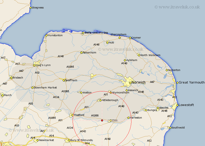
Norfolk Map Showing Location of Bressingham
Population: 751
District: South Norfolk
Easting: 606412 Northing: 280512
Latitude: 52.38 Longitude: 1.03
 = Bressingham
District: South Norfolk
Easting: 606412 Northing: 280512
Latitude: 52.38 Longitude: 1.03
= Bressingham
This Bressingham map below is supplied by Google. Use the tools in the top left corner to zoom into street level or zoom out for a road map, you may also need to zoom in to see Bressingham on the map. Click and drag the map to move around. If the map fails to load try and refresh your browser or zoom in or out (+ or -).
Update - it seems Google no longer allow people to use their maps for free! This Bressingham map sometimes loads and sometimes gives a error. I am working on a solution.
Closest 30 Towns or Cities to Bressingham (Population over 500)
North Lopham 2.93km Roydon 4.89km Diss 5.66km Garboldisham 5.66km Kenninghall 6.52km Banham 7.42km Burston 8.13km Quidenham 8.16km East Harling 8.77km Scole 9.24km Harling 9.78km Old Buckenham 11.18km Bunwell 13.02km Moulton 13.76km Moulton St. Michael 13.76km Moulton Saint Michael 13.76km Moulton St Michael 13.76km Great Moulton 13.76km Besthorpe 14.83km Attleborough 14.88km Pulham 15.16km Brockdish 15.95km Hockham 16.49km Harleston 17.07km Forncett 17.2km Forncett Saint Mary 17.2km Forncett St Mary 17.2km Forncett St. Mary 17.2km Great Ellingham 17.28km Long Stratton 17.54km