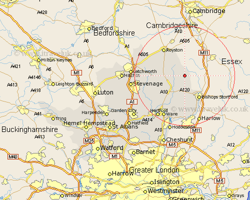
Hertfordshire Map Showing Location of Brent Pelham
Population: 165
District: East Hertfordshire
Easting: 543159 Northing: 230043
Latitude: 51.95 Longitude: 0.08
 = Brent Pelham
District: East Hertfordshire
Easting: 543159 Northing: 230043
Latitude: 51.95 Longitude: 0.08
= Brent Pelham
This Brent Pelham map below is supplied by Google. Use the tools in the top left corner to zoom into street level or zoom out for a road map, you may also need to zoom in to see Brent Pelham on the map. Click and drag the map to move around. If the map fails to load try and refresh your browser or zoom in or out (+ or -).
Update - it seems Google no longer allow people to use their maps for free! This Brent Pelham map sometimes loads and sometimes gives a error. I am working on a solution.
Closest 30 Towns or Cities to Brent Pelham (Population over 500)
Hormead 3.43km Albury 5.56km Buntingford 6.85km Barkway 7.19km Braughing 7.2km Little Hadham 7.42km Standon 8.17km Barley 9.87km Bishop's Stortford 10.88km Bishops Strotford 10.88km Bishops Stortford 10.88km Much Hadham 11.12km Cottered 11.57km Therfield 11.76km Thorley 12.02km Little Munden 13.02km Royston 13.69km Bennington 14.6km Benington 14.6km Thundridge 14.68km Widford 15.21km Walkern 15.31km Sawbridgeworth 15.51km Watton at Stone 16.79km Watton 16.79km Weston 17.13km Aston 17.64km Stapleford 18.07km Ashwell 18.47km Ware 18.5km