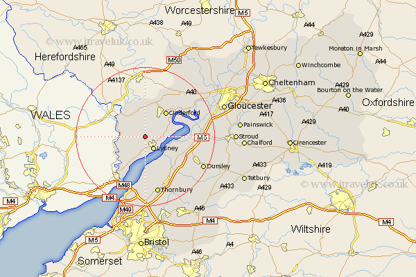
Gloucestershire Map Showing Location of Bream
Population: 2654
Area Size (ha): 95
District: Forest of Dean
Easting: 360885 Northing: 205902
Latitude: 51.75 Longitude: -2.57
 = Bream
Area Size (ha): 95
District: Forest of Dean
Easting: 360885 Northing: 205902
Latitude: 51.75 Longitude: -2.57
= Bream
This Bream map below is supplied by Google. Use the tools in the top left corner to zoom into street level or zoom out for a road map, you may also need to zoom in to see Bream on the map. Click and drag the map to move around. If the map fails to load try and refresh your browser or zoom in or out (+ or -).
Update - it seems Google no longer allow people to use their maps for free! This Bream map sometimes loads and sometimes gives a error. I am working on a solution.
Closest 30 Towns or Cities to Bream (Population over 500)
Lydney 4.36km Woolaston 6.01km Coleford 6.01km Newland 6.83km St Briavels 8.24km St. Briavels 8.24km Saint Briavels 8.24km Awre 9.36km Cinderford 9.37km Staunton 9.37km Newham 10.73km Newnham 10.73km Berkeley 10.94km Lydbrook 11.18km Drybrook 12.03km Tidenham 12.51km Stone 13.08km Slimbridge 13.16km Frampton 13.89km Frampton on Severn 13.89km Frampton-on-Severn 13.89km Mitcheldean 14.19km Milcheldean 14.19km Longhope 15.26km Falfield 15.26km North Nibley 15.66km Cam 15.93km Coaley 16.49km Alveston 16.84km Cromhall 16.86km