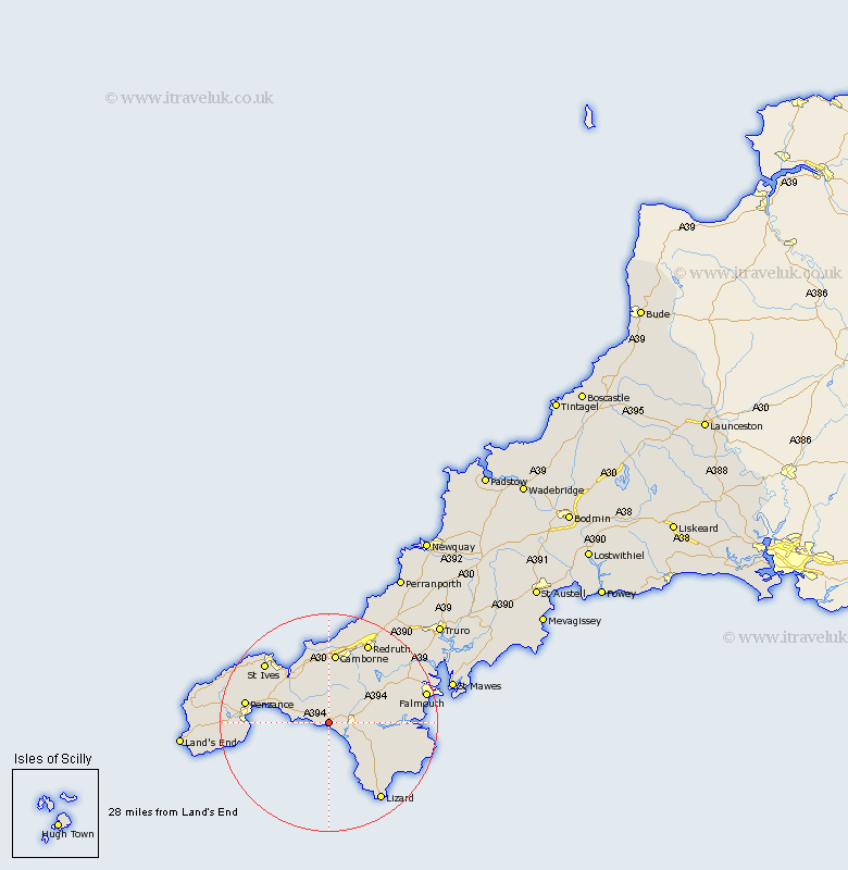
Cornwall Map Showing Location of Breage
Population: 2955
District: Kerrier
Easting: 161652 Northing: 27604
Latitude: 50.1 Longitude: -5.33
 = Breage
District: Kerrier
Easting: 161652 Northing: 27604
Latitude: 50.1 Longitude: -5.33
= Breage
This Breage map below is supplied by Google. Use the tools in the top left corner to zoom into street level or zoom out for a road map, you may also need to zoom in to see Breage on the map. Click and drag the map to move around. If the map fails to load try and refresh your browser or zoom in or out (+ or -).
Update - it seems Google no longer allow people to use their maps for free! This Breage map sometimes loads and sometimes gives a error. I am working on a solution.
Closest 30 Towns or Cities to Breage (Population over 500)
Breage 0km Porthleven 2.2km Helstone 3.57km Helston 3.57km Germoe 4.02km Germol 4.02km Crowan 6.05km St. Hilary 6.23km St Hilary 6.23km Saint Hilary 6.23km Wendron 7km Gweek 8.32km Perranuthnoe 8.52km Gwinear 9.56km Hayle 9.92km Heyl 9.92km Marazion 10.2km Mullion 11.01km Ludgvan 11.32km Troon 11.63km Constatine 12.03km Constantine 12.03km Camborne 13.03km Stithians 14.14km Illogan 15.56km Penzance 15.89km St. Ives 16.27km Saint Ives 16.27km St Ives 16.27km Budock Water 16.42km