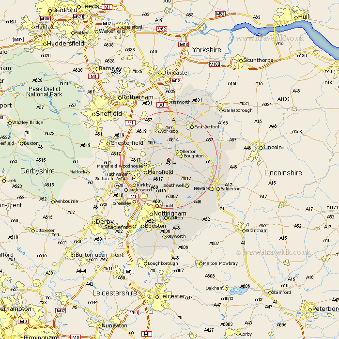
Nottinghamshire Map Showing Location of Edwinstowe
Population: 4691
Area Size (ha): 129
District: Newark and Sherwood
Easting: 462363 Northing: 365572
Latitude: 53.18 Longitude: -1.07
 = Edwinstowe
Area Size (ha): 129
District: Newark and Sherwood
Easting: 462363 Northing: 365572
Latitude: 53.18 Longitude: -1.07
= Edwinstowe
This Edwinstowe map below is supplied by Google. Use the tools in the top left corner to zoom into street level or zoom out for a road map, you may also need to zoom in to see Edwinstowe on the map. Click and drag the map to move around. If the map fails to load try and refresh your browser or zoom in or out (+ or -).
Update - it seems Google no longer allow people to use their maps for free! This Edwinstowe map sometimes loads and sometimes gives a error. I am working on a solution.
Closest 30 Towns or Cities to Edwinstowe (Population over 500)
Edwinstowe 0km Clipstone 2.89km Ollerton 4.99km Boughton 5.23km Warsop 5.85km Bilsthorpe 5.99km Walesby 7.86km Rainworth 8.12km Mansfield Woodhouse 9.08km Farnsfield 9.53km Mansfield 10.48km Elkesley 11.42km Elksley 11.42km Blidworth 11.98km Pleasley 12.36km Tuxford 12.76km Southwell 13.54km Worksop 13.71km Markham 14.28km East Markham 14.28km Oxton 14.82km Sutton in Ashfield 15.26km Shireoaks 16.26km Newstead 16.38km Huthwaite 16.52km Hucknall under Huthwaite 16.52km Hucknall 16.52km Hucknall-under-Huthwaite 16.52km Claverton 16.72km Calverton 16.72km