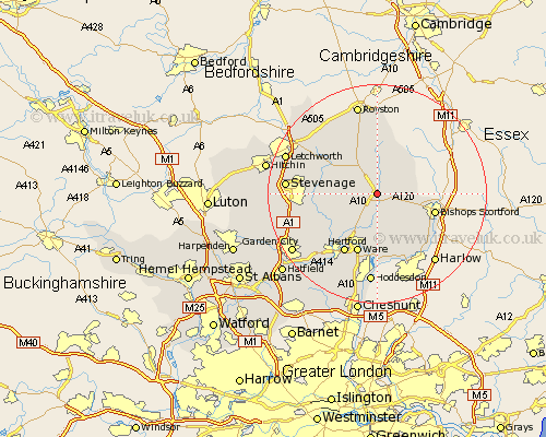
Hertfordshire Map Showing Location of Braughing
Population: 1150
District: East Hertfordshire
Easting: 538733 Northing: 224354
Latitude: 51.9 Longitude: 0.02
 = Braughing
District: East Hertfordshire
Easting: 538733 Northing: 224354
Latitude: 51.9 Longitude: 0.02
= Braughing
This Braughing map below is supplied by Google. Use the tools in the top left corner to zoom into street level or zoom out for a road map, you may also need to zoom in to see Braughing on the map. Click and drag the map to move around. If the map fails to load try and refresh your browser or zoom in or out (+ or -).
Update - it seems Google no longer allow people to use their maps for free! This Braughing map sometimes loads and sometimes gives a error. I am working on a solution.
Closest 30 Towns or Cities to Braughing (Population over 500)
Standon 2.18km Albury 4.57km Little Hadham 4.94km Hormead 5.68km Little Munden 5.89km Buntingford 6.01km Much Hadham 7.2km Thundridge 7.76km Cottered 7.79km Benington 8.22km Bennington 8.22km Widford 9.33km Watton at Stone 9.75km Watton 9.75km Walkern 10.46km Thorley 10.71km Stapleford 10.92km Bishops Stortford 10.94km Bishops Strotford 10.94km Bishop's Stortford 10.94km Barkway 11.12km Aston 11.59km Ware 11.64km Hertford 12.51km Datchworth 12.72km Stanstead Abbots 12.98km Sawbridgeworth 13.02km Great Amwell 13.18km Little Amwell 13.42km Weston 13.75km