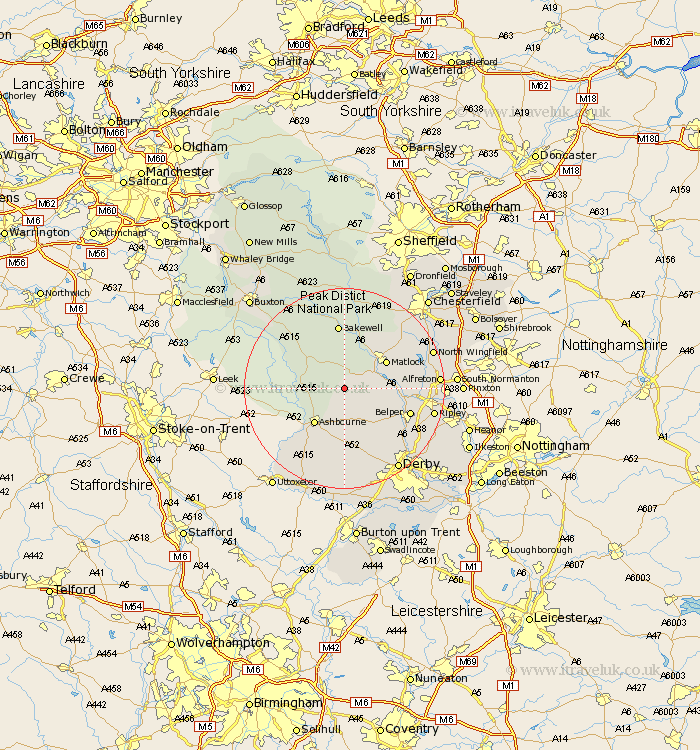
Derbyshire Map Showing Location of Brassington
Population: 584
District: Derbyshire Dales
Easting: 423441 Northing: 354099
Latitude: 53.08 Longitude: -1.65
 = Brassington
District: Derbyshire Dales
Easting: 423441 Northing: 354099
Latitude: 53.08 Longitude: -1.65
= Brassington
This Brassington map below is supplied by Google. Use the tools in the top left corner to zoom into street level or zoom out for a road map, you may also need to zoom in to see Brassington on the map. Click and drag the map to move around. If the map fails to load try and refresh your browser or zoom in or out (+ or -).
Update - it seems Google no longer allow people to use their maps for free! This Brassington map sometimes loads and sometimes gives a error. I am working on a solution.
Closest 30 Towns or Cities to Brassington (Population over 500)
Winster 5.56km Wirksworth 5.57km Bonsall 5.8km Cromford 5.87km Matlock Bath 7.15km Ashbourne 9.27km Matlock 9.57km Youlgreave 9.85km Darley Dale 9.86km Middleton 10.29km Tansley 10.49km Crich 11.13km Clifton 11.42km Ambergate Junction Station 11.74km Ambergate 11.74km Bakewell 13.02km Belper 13.45km South Wingfield 14.47km Wingfield 14.47km Heage 14.48km Ashover 14.48km Brailsford 14.99km Holbrook 15.36km Stretton 16.54km Swanwick 16.8km Baslow 16.83km Great Longstone 17.01km Longstone 17.01km Duffield 17.1km Shirland 17.1km